






The High Cost of a Hidden Problem
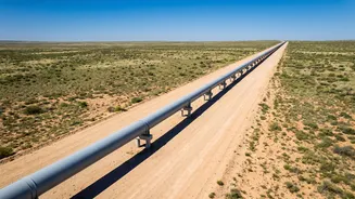
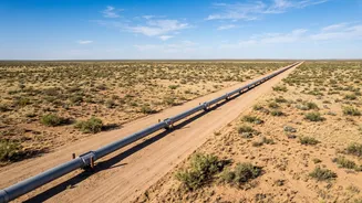
The Permian Basin, stretching across West Texas and southeastern New Mexico, is one of the most prolific oil and gas production regions in the world. But its sheer scale presents an enormous challenge: monitoring thousands of miles of pipelines for leaks.
A single undetected leak of oil, produced water, or natural gas can result in millions of dollars in lost product, cleanup costs, and regulatory fines. Methane, the primary component of natural gas, is also a potent greenhouse gas, making leaks an environmental concern as well as a financial one. Traditionally, companies have relied on ground crews walking the lines or periodic aerial surveys with helicopters. These methods are labor-intensive, slow, and often impractical in remote or rugged terrain, meaning a leak could go unnoticed for days or even weeks.
From Ground Crews to Orbiting Eyes
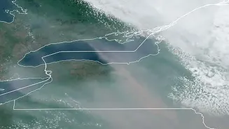
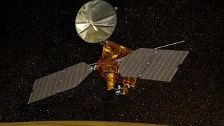
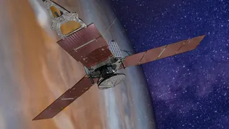
Enter satellite-based monitoring, a technology that is transforming how energy operators protect their assets. Companies like GHGSat, Satelytics, and Kayrros are deploying constellations of satellites equipped with highly specialized sensors. Instead of waiting for a physical inspection, operators can now get regular, comprehensive scans of their entire infrastructure network from space. These platforms use artificial intelligence to analyze the satellite imagery, automatically detecting anomalies and sending near real-time alerts directly to a company's operations center. This allows them to dispatch repair crews to a precise location, often within hours of the satellite pass, rather than days.
How Satellites Pinpoint Leaks
The technology works by detecting the unique spectral signatures of different substances. Some satellites are equipped with hyperspectral sensors that can identify liquid hydrocarbon leaks or changes in vegetation health caused by a spill. Others carry advanced interferometers or spectrometers designed to spot and measure methane plumes in the atmosphere. These sensors are so sensitive they can often pinpoint the source of a methane leak down to an individual piece of equipment, such as a valve or compressor station, from hundreds of kilometers up. By processing petabytes of this data, AI algorithms can distinguish between a critical leak and normal operations, filtering out false positives and ensuring repair crews are sent only where they are needed.
Real-World Impact in the Permian
In the Permian Basin, this technology is already making a significant difference. Major operators like ExxonMobil have integrated satellite data into their emissions monitoring programs to systematically find and fix leaks across their assets. One case study showed a satellite system alerting a company to a liquid pipeline leak 13 days before their traditional methods would have caught it, saving potentially millions in cleanup costs. The data also reveals broader trends; satellite observations have shown that methane emissions intensity is significantly lower in the New Mexico portion of the Permian compared to the Texas side, a difference attributed to New Mexico's stricter emissions regulations. This provides clear, measurable evidence of what works, guiding both corporate strategy and public policy.
Beyond Speed: A Data-Driven Shift
The speed of repair is the most immediate benefit, but the impact of satellite data goes deeper. It marks a fundamental shift from a reactive to a proactive and predictive approach. The same data used to find leaks can also monitor for third-party encroachment (like unauthorized construction), ground movement that could stress a pipeline, and vegetation overgrowth in right-of-ways. For companies, this constant, wide-area surveillance provides a more holistic view of operational risk. It also delivers the verifiable, third-party data needed to meet regulatory requirements and demonstrate progress on environmental, social, and governance (ESG) goals to investors. This turns a maintenance task into a source of valuable business intelligence.