




The Challenge of an Unpredictable Ocean
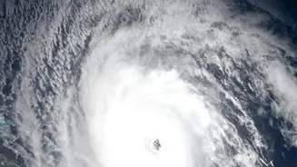
The vast expanse of the Indian Ocean is the engine that drives the monsoon. It's a complex system where subtle changes in temperature, wind, and sea level can brew into powerful cyclones and intense rainfall. For decades, predicting the exact formation,
path, and intensity of these weather systems has been a monumental challenge. A delayed or inaccurate forecast can have severe consequences for coastal communities, agriculture, and the national economy. Traditional observation methods like ships and buoys provide crucial data, but they are limited in their scope. To get the full picture, India needed a persistent, all-weather eye watching over the seas.
ISRO's Eyes in the Sky
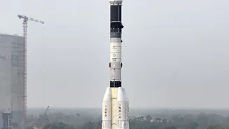
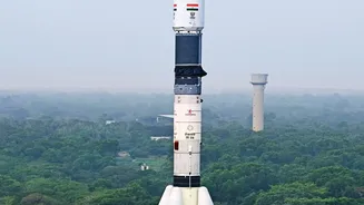
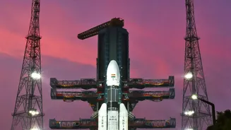
This is where ISRO's fleet of Earth observation satellites comes in. Missions like the Oceansat series, SCATSAT-1, and the joint Indo-French satellite SARAL are dedicated to oceanography. These satellites are equipped with highly specialised radar sensors that are not blinded by clouds, making them perfect for monitoring the turbulent conditions that precede and accompany monsoon storms. Unlike optical cameras that need clear skies, radar instruments actively send out microwave pulses and analyse the signals that bounce back. This provides a continuous stream of data on the ocean's physical state, day or night, rain or shine. This data is then fed to agencies like the India Meteorological Department (IMD) to refine their weather models and issue more timely and accurate warnings.
Measuring the Ocean's Height with Altimeters
One of the key instruments is the radar altimeter. Think of it as a highly precise measuring tape from space. The altimeter, such as the AltiKa instrument on the SARAL satellite, sends a radar pulse down to the ocean and measures the exact time it takes to return. This allows scientists to calculate the sea surface height with centimetre-level accuracy. But why does this matter? Warmer water expands, causing a slight bulge in the sea surface. These areas of higher sea level indicate a large volume of warm water, known as high ocean heat content, which is the primary fuel for cyclones. By mapping these thermal 'hot spots', ISRO can identify regions where a storm is likely to form or intensify, giving forecasters a crucial heads-up.
Tracking Winds with Scatterometers
The second critical tool is the scatterometer. Instruments like the one on ISRO's SCATSAT-1 and Oceansat satellites are designed to measure wind. The scatterometer works by sending radar pulses to the ocean and measuring the 'roughness' of the water's surface from the scattered signals it receives back. A calm sea reflects the signal differently than a choppy, wind-swept surface. By analysing the strength of the return signal from multiple angles, scientists can determine not just the speed of the surface winds, but also their direction. This data is invaluable for detecting the first signs of a cyclonic circulation—the rotating wind pattern that marks the birth of a storm—and tracking its movement and development across the ocean.
From Data to Disaster Preparedness
The real power of this technology lies in combining the data. Information from altimeters about ocean heat and from scatterometers about wind circulation provides a comprehensive, three-dimensional view of developing storms. When this satellite data is fed into advanced numerical weather prediction models, it significantly improves the forecast's accuracy, particularly for a storm's track and intensity. This enhanced capability, developed and operationalised by ISRO and its partner agencies, translates directly into longer lead times for disaster management teams. It means more time to alert and evacuate coastal populations, safeguard critical infrastructure, and mobilise resources, ultimately saving lives and minimising damage when a monsoon storm makes landfall.