






The Trigger in the Mountains
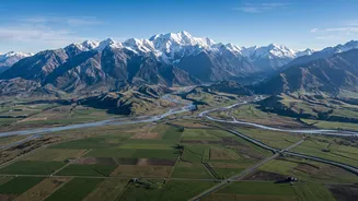
The story of a devastating flood often begins thousands of metres above sea level in the Himalayas. The trigger can be one of several cataclysmic events. A common culprit is a Glacial Lake Outburst Flood (GLOF), where a lake formed by melting glaciers,
held back by a fragile dam of rock and ice, suddenly bursts. These are becoming more frequent as climate change accelerates glacial melt. Another trigger is an intense, localised downpour known as a cloudburst, which can dump an enormous amount of rain in a very short period. Sometimes, a massive landslide or avalanche can block a river, creating a temporary dam that, when it inevitably fails, releases a wall of water downstream.
A Downhill Super-Highway
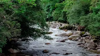
Once unleashed, the water begins a violent descent. The Himalayas have some of the steepest terrain on Earth. This steep gradient acts like a giant slide, causing the water to accelerate to terrifying speeds. It's not just water anymore; it becomes a thick, powerful slurry. As it thunders down narrow valleys and gorges, it picks up everything in its path—boulders, trees, soil, and debris from collapsed infrastructure. This mix of water and sediment, known as a debris flow, has far more destructive power than water alone, capable of scouring riverbeds and wiping out bridges and hydropower projects in minutes.
The Trans-Boundary Connection
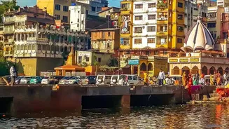
The rivers of the Himalayas don't respect international borders. Major river systems like the Kosi, Gandak (called Narayani in Nepal), and Ghaghara flow from their headwaters in Tibet and Nepal, carving their way south. These rivers act as natural super-highways, channelling the flood surge from the high mountains directly towards the plains of India. For states like Bihar and Uttar Pradesh, these rivers are both a lifeline and a source of annual dread. What happens upstream in Nepal has a direct and often immediate impact on communities living downstream in India.
The Plains Problem: A Sudden Slowdown
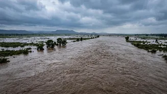
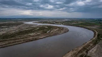
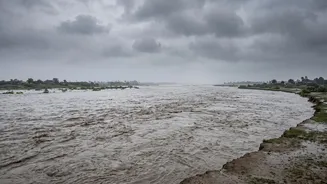
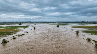
The most critical part of the journey happens as the river exits the mountains and enters the vast, flat Indo-Gangetic Plain. Here, the geography changes dramatically. The steep gradient vanishes, and the river, which was moving at high speed, suddenly slows down. This abrupt change in velocity forces the river to drop its massive load of sediment. The riverbed rises, reducing the channel's capacity to hold water. Unable to flow forward efficiently, the water and sediment spread out, breaching embankments and inundating huge swathes of land. This is why a river like the Kosi, notorious for the 100 million tonnes of silt it carries annually, is called the 'Sorrow of Bihar'.
Human Factors and Future Risks
Natural geography tells most of the story, but human activity makes a bad situation worse. Deforestation in the hills can increase soil erosion and sediment load in rivers. Haphazardly built embankments and other structures on both sides of the border can obstruct the natural flow of water, exacerbating flooding in unexpected places. These structures can also lead to a false sense of security, and when they inevitably breach, the disaster is even more catastrophic. As climate change continues to make weather events more extreme and glacial lakes more unstable, this devastating journey of water from the Himalayas to the plains is a risk that requires urgent, coordinated, and trans-boundary management.