





The Powerful Ascent
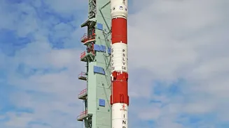
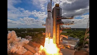
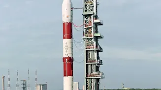
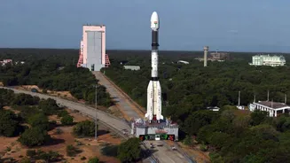
The mission begins at the Satish Dhawan Space Centre in Sriharikota, where the satellite is housed inside the nose cone of a powerful rocket like the Geosynchronous Satellite Launch Vehicle (GSLV). Following a smooth countdown, the GSLV ignites its engines,
generating immense thrust to overcome Earth's gravity. The launch is a carefully choreographed sequence. The rocket's stages fire and separate at precise moments, pushing the satellite higher and faster. Within minutes, it escapes the dense lower atmosphere and reaches a preliminary orbit. For a satellite like EOS-05, destined for a high perch, this is typically a sub-Geosynchronous Transfer Orbit (sub-GTO). This initial orbit is highly elliptical, with its lowest point (perigee) relatively close to Earth and its highest point (apogee) stretching out towards its final destination. After about 18-20 minutes, the satellite separates from the rocket's final stage and begins its solo journey.
The Long Climb to Geostationary Orbit
Once separated from the launch vehicle, the satellite is in a temporary parking spot. The real work of reaching its final destination—a geostationary orbit approximately 36,000 kilometres above the equator—now begins. This phase involves a series of meticulously planned orbital manoeuvres. Using its own small onboard engines, known as a Liquid Apogee Motor, the satellite performs a series of 'burns' at its orbit's apogee. Each burn injects energy into the orbit, gradually raising the perigee and making the orbit more circular. This process of orbit-raising can take several days. ISRO's mission control centre constantly monitors the satellite, commanding each manoeuvre with extreme precision to guide it into its designated slot in the sky. The goal is to achieve a circular orbit where the satellite's speed perfectly matches Earth's rotation, allowing it to remain stationary over a specific region of the globe.
Waking Up in Space
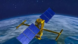
After reaching its final orbit, the satellite undergoes a critical 'wake-up' phase. This starts with the deployment of its solar panels, which unfurl like wings to capture sunlight and power its systems. Antennas and other appendages are also extended. Mission controllers then begin a thorough health check of all onboard systems, a process known as commissioning. They stabilise the satellite, ensuring it is correctly oriented towards Earth and not tumbling. This involves using reaction wheels and small thrusters to manage its attitude. For an imaging satellite, pointing accuracy is paramount. Even the slightest wobble can blur an image taken from 36,000 km away. These initial checks and calibrations can take several weeks, as engineers on the ground ensure every component is working as expected before the main mission begins.
The Eye in the Sky Opens
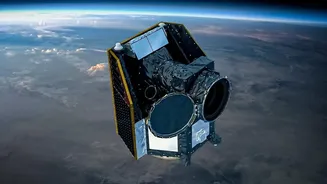
With the satellite stable and powered, the main event can begin: imaging the Earth. Earth Observation Satellites don't take pictures like a simple camera. They are equipped with sophisticated sensors that capture data across different wavelengths of light, including visible and infrared. These sensors, often Charge-Coupled Devices (CCDs), convert the reflected or emitted energy from Earth's surface into digital signals. Modern satellites use a 'push-broom' technique, where a line of detectors sweeps across the ground as the satellite moves, building an image strip by strip. By using different spectral bands, or 'colours' of light, the satellite can distinguish between various features like vegetation, water bodies, snow, and clouds with remarkable clarity. This multispectral imaging provides far more information than a standard photograph.
From Data to Decisions
The raw data captured by the satellite is beamed down to ground stations in India. This stream of ones and zeros is then processed by powerful computers to create usable images. Scientists and analysts combine data from different spectral bands to create enhanced images that highlight specific phenomena. For instance, they can monitor crop health, track the path of a cyclone, map flood-affected areas, or detect forest fires. These final data products are then disseminated through platforms like ISRO's Bhuvan web portal to various government agencies, researchers, and the public. A single satellite like EOS-05 can thus provide critical, near real-time information that supports everything from disaster management and agriculture to urban planning and national security.