



A New Eye in a Fixed Sky
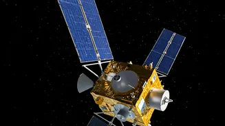
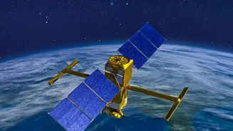
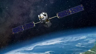
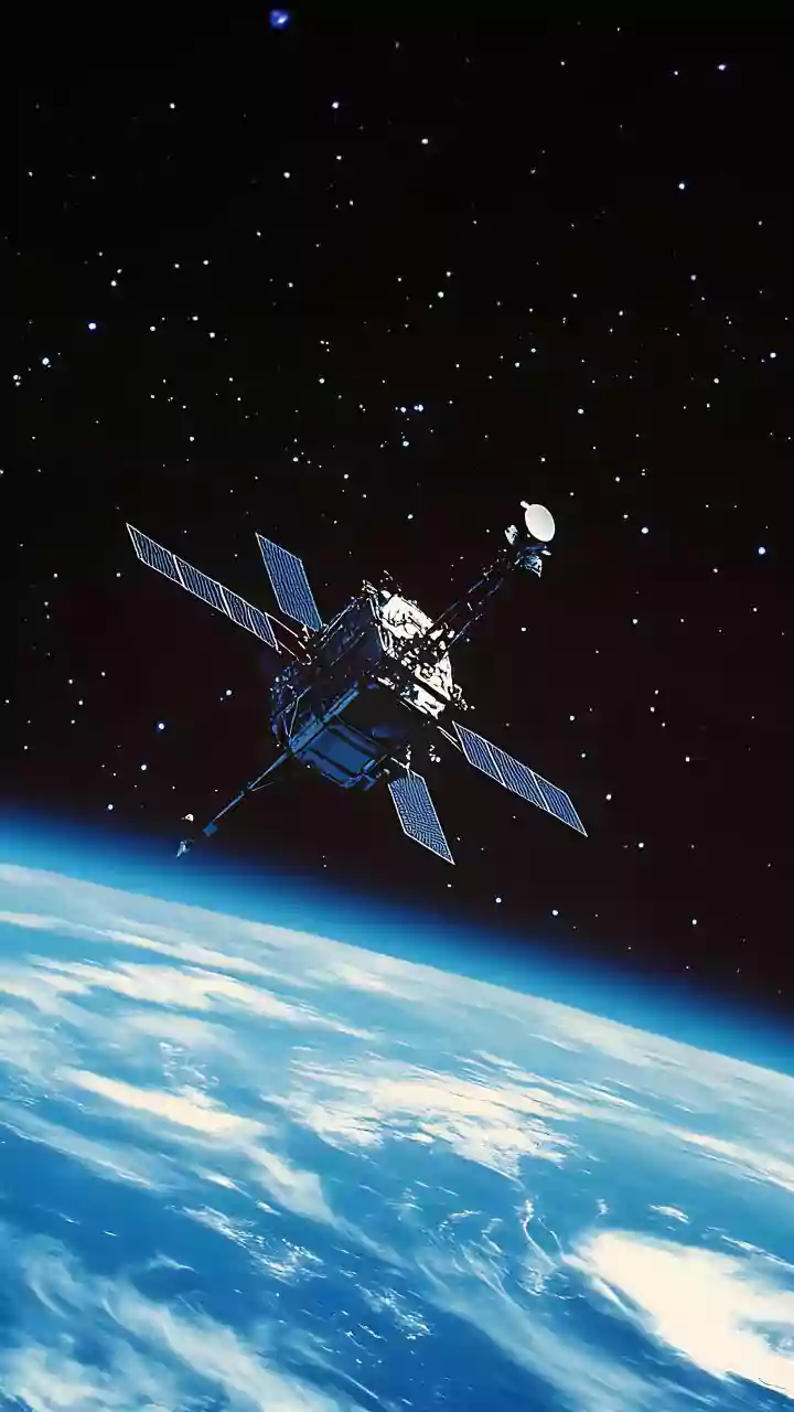
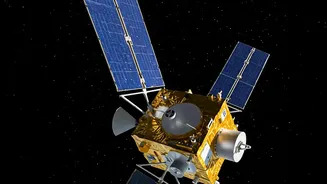
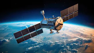
Scheduled for a highly anticipated launch on September 4, 2026, EOS-05 is not just another satellite. Also known as GISAT-1A, it is an advanced Earth observation satellite destined for a geostationary orbit, approximately 36,000 kilometres above the equator.
Unlike most Earth-viewing satellites that circle the planet in Low Earth Orbit (LEO) and can only glimpse a specific location for a few minutes at a time, EOS-05 will match the Earth's rotation. This allows it to remain in a fixed position, essentially 'staring' continuously at the Indian subcontinent. This mission is particularly significant as it is the successor to the GISAT-1 mission, which was unfortunately lost during a launch failure in 2021, making the success of EOS-05 a key objective for ISRO.
The Power of Persistent Viewing
The primary advantage of EOS-05 lies in its ability to provide near-real-time imagery of a large area at frequent intervals. While other satellites provide high-resolution snapshots, EOS-05 will deliver a constant stream of updates. It is designed to image the entire Indian landmass every 30 minutes, and for priority areas during a crisis, it can revisit a location for a new image in as little as five minutes. The spacecraft is equipped with multispectral and hyperspectral cameras, which capture images across different wavelengths of light. This provides rich, detailed data far beyond what the human eye can see. While it is an optical satellite, meaning its view can be obscured by heavy cloud cover, its power comes from the sheer frequency of its observations, allowing it to track the evolution of large-scale systems.
Tracking Cyclones and Floods
For a country with a long coastline and a dependency on the monsoon, this persistent watchfulness is invaluable. During cyclone season, for example, EOS-05 will enable forecasters to monitor the formation and intensification of storms over the ocean with unparalleled frequency. Seeing how a storm's structure changes every half-hour can lead to more accurate predictions of its track and intensity, giving authorities more time to prepare and evacuate coastal communities. Once a storm makes landfall, the satellite's rapid imaging can help map the extent of flooding in near-real-time, identifying the worst-hit areas and guiding rescue and relief efforts to where they are needed most.
Beyond Storm Watching
While its role in tracking extreme weather is critical, the applications of EOS-05 extend much further. The data it gathers will be vital for a wide range of national needs. In agriculture, its frequent observations can help monitor crop health, assess soil moisture, and provide early warnings of drought conditions. It will also be a powerful tool for monitoring forest fires, allowing authorities to track the spread of a blaze and deploy resources more effectively. Furthermore, it will help in observing changes to glaciers, rivers, and reservoirs, contributing to better water resource management. This makes it a multi-purpose asset for India's economic and environmental security.
A Crucial Piece of the Puzzle
EOS-05 will not work in isolation. It is designed to complement ISRO's existing fleet of satellites. India already operates the INSAT series for meteorological data and the RISAT series of radar-imaging satellites, which have the crucial ability to see through clouds and darkness. EOS-05 will fill a unique niche by providing high-frequency visual data from a geostationary perch. When a cyclone is forming, the INSAT satellites can provide meteorological data, the RISAT satellites can pierce the clouds with radar to analyse the storm's structure, and EOS-05 will provide constant, wide-area visual updates. Together, they create a more complete and robust observation system than any single satellite could achieve on its own.