



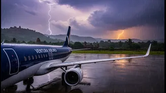


Beyond the Onboard Radar
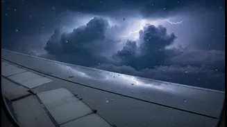
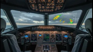
For decades, dealing with storms was largely a tactical, in-flight job. Pilots would use onboard weather radar, which famously paints rain in shades of green, yellow, and red, to navigate around the worst parts of a storm cell. This is effective for immediate
avoidance but is fundamentally reactive. The new approach is strategic. Before a plane is even boarded, flight planners are using advanced advisories that forecast not just where it will rain, but the entire lifecycle of convective activity—the powerful vertical air movements that create thunderstorms, turbulence, icing conditions, and dangerous wind shear. These forecasts are probabilistic, giving dispatchers a clear picture of the likelihood of hazardous weather developing along a proposed route.
The Old Way: A Tactical Game of Dodge
Traditionally, flight planning involved looking at large-scale weather maps and pilot reports to chart a general course. The specific, minute-to-minute task of weaving through storm systems was left to the pilots in the air. This often meant significant, fuel-burning deviations from the planned route, holding patterns, or last-minute diversions to an alternate airport. In regions with intense seasonal weather like the Indian monsoon, this reactive approach puts immense pressure on flight crews. The Directorate General of Civil Aviation (DGCA) has repeatedly issued circulars urging airlines to be conservative, maintain significant distances from storm cells, and prioritise safety over schedules, highlighting the risks of the older, more tactical methods.
The Technology Driving the Change
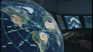
This shift is powered by a convergence of technologies. High-resolution satellite imagery, ground-based sensors, and immense computing power allow for the creation of sophisticated weather models. Companies are using artificial intelligence and machine learning to analyse vast historical and real-time atmospheric data, generating forecasts that are more granular and accurate than ever before. For example, systems like the Global High-Resolution Atmospheric Forecasting (GRAF) model can predict the formation of thunderstorms with much greater precision, helping airlines make smarter decisions hours in advance. This isn't just a better weather map; it's a predictive engine for atmospheric hazards.
Why Every Drop Counts: Safety and Efficiency
The primary driver for this evolution is safety. Convective weather is one of the biggest risks in aviation, responsible for everything from bone-jarring turbulence to catastrophic accidents. By planning routes around hazardous weather before takeoff, airlines can dramatically reduce exposure to these dangers. But the benefits are also economic. Rerouting around a large storm system can add hundreds of kilometres to a flight, burning thousands of kilograms of extra fuel and leading to cascading delays across the network. By optimising a flight path based on a high-confidence forecast, airlines can save fuel, reduce carbon emissions, and improve on-time performance, all while making the journey safer.
What This Means for Your Next Flight
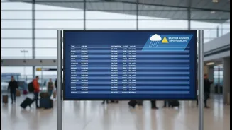
For passengers, this change will manifest in subtle ways. You may experience fewer in-flight reroutings and smoother rides, as the flight path was already designed to avoid developing turbulence. However, it could also mean more proactive flight delays or even cancellations. If a high-confidence forecast shows an unavoidable, dangerous weather system over a destination airport at your scheduled arrival time, the airline may choose to hold the flight on the ground rather than risk a diversion. While a delay is never welcome, it reflects a shift toward more predictable and controlled decision-making. The goal is to manage weather's impact before it manages the flight, making air travel not just safer, but also a little more reliable in the face of the storm.