



An Eye in the Sky for Every Indian
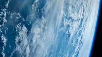
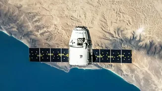
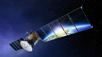
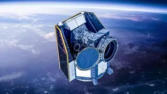
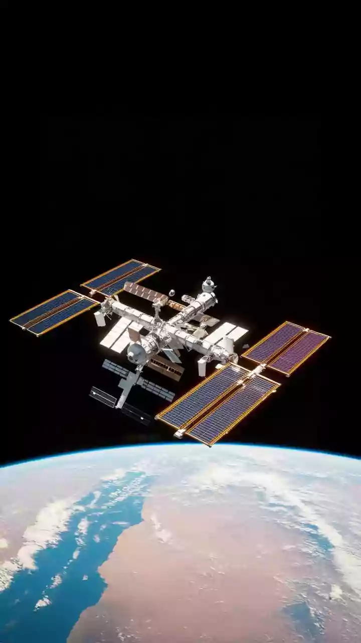
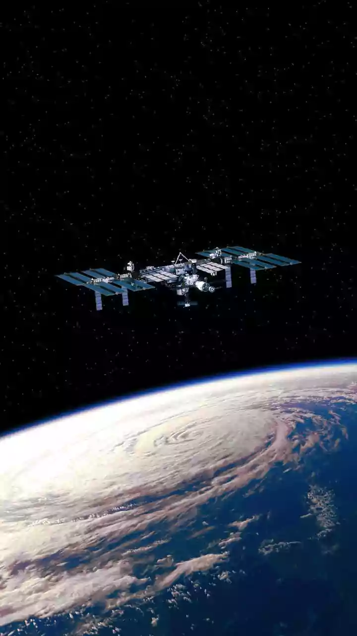
Earth observation (EO) is the art of gathering information about our planet's physical, chemical, and biological systems from space. While often confused with the GPS that guides our cars, EO is much broader. Satellites from organisations like the Indian
Space Research Organisation (ISRO) are equipped with powerful sensors that can see things the human eye cannot. They track everything from soil moisture and air pollution to the health of forests and the exact path of a forming cyclone. This constant stream of data is a critical, yet often unseen, public utility that supports decision-making in almost every sector of our economy and society.
Fueling a Smarter Agricultural Revolution
For the nearly half of India's workforce employed in agriculture, satellite technology is a game-changer. ISRO's programmes like FASAL (Forecasting Agricultural output using Space, Agrometeorology and Land-based observations) and other initiatives use satellite data to provide precise information to farmers. This includes monitoring crop health, predicting yields, assessing soil moisture, and optimising the use of water and fertilisers. By analysing satellite imagery, officials can anticipate harvest shortfalls or drought conditions months in advance, allowing for timely interventions like adjusting grain reserves or advising farmers on different crops. This move towards precision agriculture helps increase productivity, reduces waste, and boosts the resilience of Indian farming.
Building Safer Cities and Infrastructure
India's cities are expanding at a staggering rate, and managing this growth requires a bird's-eye view. Earth observation satellites provide high-resolution imagery that helps urban planners monitor urban sprawl, map land use changes, and detect unauthorised construction in near real-time. This data is invaluable for designing new road networks, planning infrastructure projects, and ensuring that development is sustainable. Beyond city planning, satellites also monitor the health of critical infrastructure like pipelines, dams, and bridges, allowing authorities to spot potential issues like leaks or structural weaknesses before they become major problems.
Your First Line of Defence Against Disasters
In a country prone to cyclones, floods, and landslides, early warnings save lives. This is where EO satellites play their most dramatic role. Satellites like ISRO's INSAT series continuously monitor weather patterns, ocean temperatures, and cloud formations, providing the crucial data needed to forecast cyclones and heavy rainfall. When a disaster strikes, EO provides real-time maps of affected areas, identifying flooded regions and damaged roads. This information is vital for disaster management teams to locate stranded communities, plan rescue operations, and deliver aid efficiently. Flood hazard atlases for major flood-prone states have been developed using years of historical satellite data.
Monitoring the Health of Our Nation
The applications of Earth observation extend to environmental protection and public health. Satellites track deforestation, monitor air and water pollution, and can even help map the spread of vector-borne diseases by monitoring environmental conditions that favour their growth. For instance, the National Remote Sensing Centre (NRSC) uses satellite data to monitor air quality in major cities. These observations provide a comprehensive picture of our environmental health, helping policymakers create effective strategies to protect our natural resources and ensure a healthier future for all citizens. Long-term monitoring of glaciers, forests, and coastlines also provides undeniable evidence of climate change, guiding national policy.