







A New Guardian in Geosynchronous Orbit
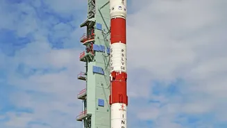
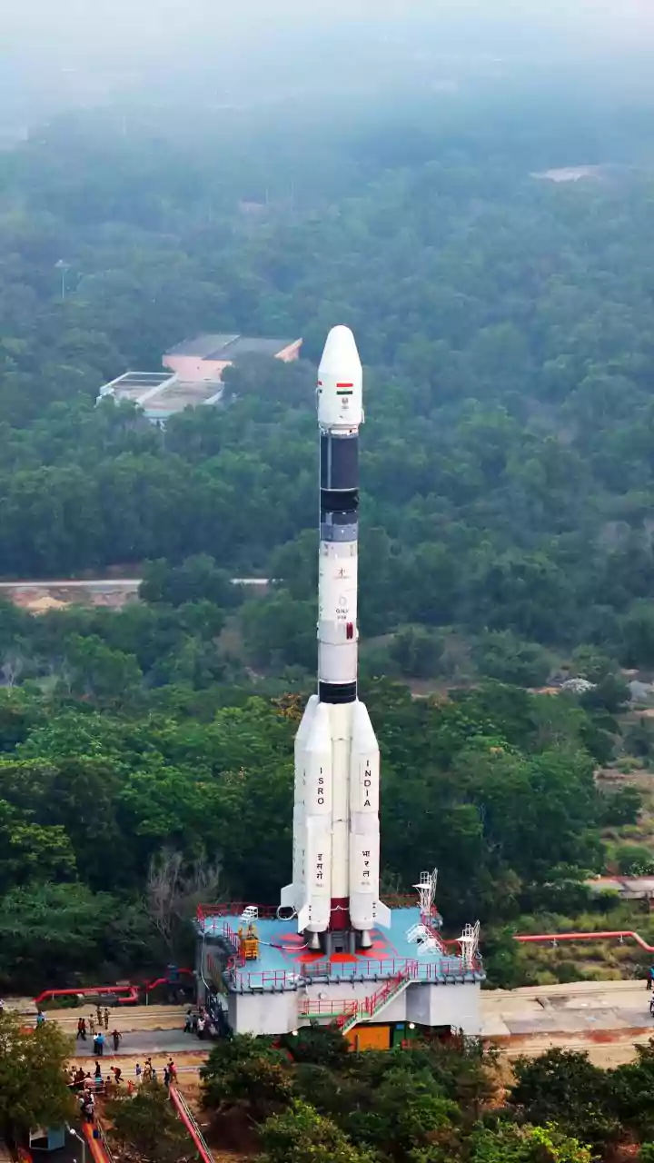
On Friday, the Indian Space Research Organisation (ISRO) successfully launched the advanced Earth-observation satellite, EOS-05, into orbit. This was not just another launch; it was a historic moment, placing India's first dedicated imaging satellite into a geosynchronous
orbit approximately 36,000 km above the Earth. Unlike satellites in lower orbits that pass over areas periodically, a satellite in this orbit moves in sync with the Earth's rotation. This allows EOS-05 to continuously monitor a large portion of the Indian subcontinent and its adjoining regions, providing near real-time data. Hailed as a new 'eye in the sky', this state-of-the-art spacecraft represents a significant leap in India's strategic and developmental capabilities.
The All-Weather, All-Season Advantage
One of the most significant features of advanced Earth-observation satellites is their ability to see through clouds, rain, and darkness. Many earlier satellites relied on optical sensors, which are essentially powerful cameras that work like the human eye and are hindered by cloud cover or night. While EOS-05 has advanced multi-band imagers, many satellites in India's constellation use Synthetic Aperture Radar (SAR). SAR is an active sensing technology, meaning it sends its own signals to the ground and reads the reflection. This makes it an all-weather tool, which is a game-changer for a country like India, where monsoon clouds can obscure vast areas for months. This constant stream of clear imagery is crucial for timely monitoring.
A Boon for Farmers and Food Security
For India's agricultural sector, the data from satellites like EOS-05 is invaluable. The spacecraft's ability to provide frequent and detailed imagery can help authorities and scientists monitor crop health and growth over vast areas. By analysing the data, experts can estimate crop yields, detect early signs of stress from pests or lack of water, and assess soil moisture levels. This information enables more accurate advisories for farmers, helping them with crucial decisions about when to plant, irrigate, and fertilise. Ultimately, this leads to better resource management, reduced crop losses, and a stronger foundation for the nation's food security.
A First Responder for Natural Disasters
India is prone to a range of natural disasters, from cyclones and floods to landslides and cloudbursts. EOS-05 is poised to become a vital tool in disaster management. Its ability to provide near real-time, large-scale imagery allows for rapid damage assessment in the aftermath of a flood or cyclone, helping direct rescue and relief efforts to the worst-hit areas. Before a disaster strikes, it can help monitor the formation and movement of cyclones, providing crucial early warnings. During floods, it can map the extent of inundation, even through cloud cover, which is critical for planning evacuations and managing response.
Enhancing National Security and Development
Beyond its civilian applications, a powerful Earth-observation satellite inherently strengthens a nation's security apparatus. The ability to monitor borders and maritime interests with high-resolution imagery provides vital strategic data for national security. The satellite's data will also be instrumental in urban and rural development. It can be used to plan and monitor infrastructure projects, manage urban expansion, track deforestation, and manage precious water resources. From city planning to environmental protection, the information gathered by EOS-05 will help create a more detailed and dynamic map of a rapidly developing India, enabling smarter, data-driven governance.