
The Grand Vision on Water
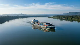
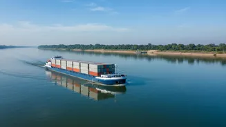
The National Waterways Act of 2016 marked a historic shift, designating 111 rivers and canals as potential highways for transport. Integrated with the broader Sagarmala Programme, the goal is to create a cheaper, greener alternative to congested roads
and railways, thereby reducing India's high logistics costs. The promise is immense: moving one litre of fuel can transport cargo nearly 105 km by water, compared to just 24 km by road. The government envisions this network boosting industrial growth, especially in landlocked states, and enhancing trade with neighbours like Bangladesh. However, declaring a waterway is one thing; making it a bustling trade route is another challenge altogether.
The Ganga Artery: A Test Case
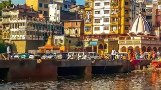
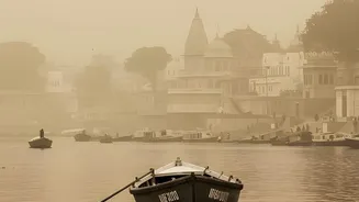
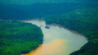
All eyes are on National Waterway 1 (NW-1), the 1,620 km stretch on the Ganga-Bhagirathi-Hooghly river system from Prayagraj to Haldia. As the longest and most strategically important route, its success is seen as a benchmark for the entire project. Multi-modal terminals have been built in Varanasi, Sahibganj, and Haldia to connect the river with road and rail. Yet, performance has fallen short of targets. The core challenges are natural: the Ganga is a seasonal river, with water levels fluctuating dramatically. Maintaining a consistent, navigable depth requires constant and expensive dredging to combat heavy siltation, a process that also raises ecological concerns about the river's health and aquatic life.
The Brahmaputra Lifeline in the Northeast
National Waterway 2 (NW-2) on the Brahmaputra River is equally critical, serving as a lifeline for Assam and the broader Northeast. This 891 km route from Dhubri to Sadiya is vital for connecting the region to the rest of India via Bangladesh, transporting essentials like food grains and fertilizers as well as project cargo. The government has invested significantly in developing terminals, jetties, and ship repair facilities to boost capacity. While cargo movement is operational, it is yet to reach its full potential. The challenges here are similar to those on the Ganga—siltation and maintaining fairway depth—but with the added complexity of a dynamic, braided river system. Still, its strategic importance for regional development and the Act East policy keeps it a high-priority corridor.
The Hurdles Beyond The Current
Beyond the physical challenges of dredging and depth, the economic viability of these routes is the ultimate decider. A key problem is attracting consistent cargo traffic. Reports indicate that the multi-modal terminal at Varanasi has struggled with irregular traffic and a lack of cargo for the return journey, making trips unprofitable for private operators. Private sector participation remains tepid due to high initial vessel costs and uncertainty over sustained demand. The government is offering incentives and has eased regulations for private jetty construction to spur investment, but operators need assurance of year-round navigability and business volume.
The Last-Mile Connectivity Gap
A waterway does not exist in isolation. Its value is unlocked only by seamless integration with other transport modes. A major challenge identified is the lack of adequate first and last-mile connectivity. If cargo unloaded from a barge cannot be quickly and efficiently moved onto trucks or trains to reach its final destination, the cost and time advantages of water transport are lost. Effective waterway expansion requires a holistic plan where new jetties are planned from the outset with robust road and rail links, creating a truly integrated multi-modal logistics network. Without this, even the most well-maintained river route will remain underutilised.