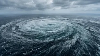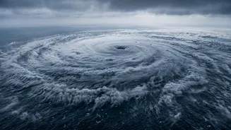


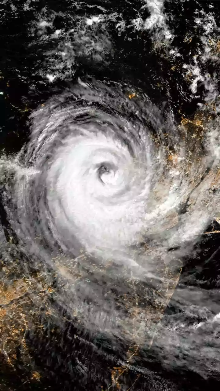


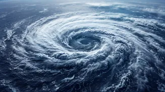

Every year, it seems the headlines about approaching cyclones get more urgent. Storms that form over the sea are now frequently intensifying with alarming speed, leaving coastal communities with less time to prepare for their devastating impact.
The Engine of a Cyclone
To understand
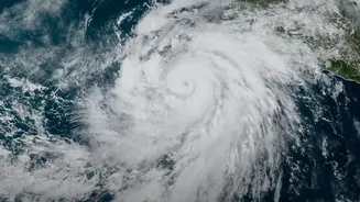
why cyclones may be getting stronger, we first need to understand what makes them tick. A tropical cyclone is like a giant, spinning engine that feeds on warm, moist air over tropical oceans. The ocean's surface temperature is a critical factor; think of it as the high-octane fuel for the storm. For a cyclone to form and strengthen, sea surface temperatures generally need to be above 26.5 degrees Celsius. The warmer the water, the more energy is available to be transferred to the atmosphere. This energy conversion is what drives the powerful winds and the overall structure of the storm. As global temperatures rise, the oceans absorb a significant amount of this excess heat. Consequently, the area of the ocean with waters warm enough to spawn and sustain powerful cyclones is expanding, and the 'fuel' available is becoming more potent.
Warmer Air and Heavier Rain
It isn't just the ocean's heat that plays a role. A warmer atmosphere can also hold more moisture. For every degree Celsius of warming, the air can hold about 7% more water vapour. When a cyclone forms, it draws in this moisture-laden air, and as the air rises and cools, the water vapour condenses to form clouds and release enormous amounts of rain. This process, known as latent heat release, provides even more energy to the storm, further intensifying its winds. This is why we are seeing modern cyclones produce more extreme rainfall, leading to widespread flooding that often proves more destructive than the wind damage. The increased availability of atmospheric moisture is a direct consequence of a warming climate and is a key ingredient in making these storms more dangerous.
The Enigma of Rapid Intensification
One of the most dangerous trends researchers are observing is 'rapid intensification'. This is when a cyclone's maximum sustained winds increase significantly in a very short period, often in less than 24 hours. A storm that was a Category 1 can suddenly escalate to a major Category 3 or 4 hurricane, catching forecasters and communities by surprise. While the exact mechanisms are still under intense study, scientists believe it is strongly linked to the thermal energy in the upper ocean. A deep layer of very warm water allows the cyclone to keep feeding and strengthening without churning up colder water from below, which would normally act as a brake. This phenomenon is particularly concerning for regions like the Bay of Bengal and the Arabian Sea, where recent cyclones have exhibited this dangerous behaviour.
The Challenge of Looking Ahead
While the evidence strongly links a warming climate to more intense and wetter cyclones, scientists remain very careful about making definitive longterm projections. This is the 'certainty' part of the puzzle. Climate models are incredibly complex, but they are better at forecasting broad, longterm trends—like the average global temperature—than predicting the behaviour of smaller, more chaotic systems like individual cyclones. Factors like wind shear, atmospheric patterns, and interactions with land make it difficult to model precisely how many cyclones will form in a given season decades from now, or exactly where they will track. Researchers are working to improve the resolution and physics within these models, but for now, they express higher confidence in the trend of intensification (stronger storms) than in the trend of frequency (more or fewer storms).