





India's Eyes in the Sky
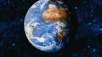
At the heart of this new perspective is a fleet of sophisticated earth observation satellites, many operated by the Indian Space Research Organisation (ISRO). Satellites like those in the Resourcesat, Cartosat, and RISAT series are designed to monitor
the country's land and water resources. They work by capturing images of the Earth's surface across different wavelengths of light, a process known as remote sensing. Some advanced systems, like the one on the joint NASA-ISRO satellite, NISAR, use radar that can see through clouds and even at night, providing an uninterrupted stream of data. By comparing images of the same location taken months or years apart, scientists can detect and measure transformations with remarkable precision.
The Unrelenting March of Urbanisation
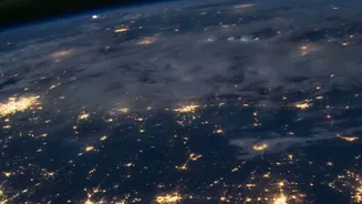
One of the most dramatic changes visible from space is the rapid expansion of India's cities. Satellite imagery shows cities like Bangalore, Delhi, and Hyderabad sprawling outwards, with agricultural land and open spaces steadily being converted into housing colonies, industrial zones, and road networks. This technique, called change detection, allows urban planners to track growth patterns and understand the pressure on resources. While this development is a sign of economic growth, it also brings challenges. Studies show this conversion is happening around smaller cities as well as large metros, often in states with highly suitable agricultural land, raising long-term food security questions.
A Tale of Forests and Farmland
The view from space also tells a complex story about India's green cover. On one hand, satellite data is a critical tool for monitoring deforestation. It helps identify the drivers behind forest loss, which include conversion to agricultural land, infrastructure projects, and mining activities. Studies using satellite imagery have indicated that nearly 30% of India's geographical area is undergoing some form of land degradation, a process where the land loses its productivity. On the other hand, the same technology reveals positive trends. The National Remote Sensing Centre (NRSC) has documented a significant increase in the area sown for both Kharif and Rabi crops over the last two decades, suggesting that some previously fallow lands are becoming more productive.
Water Resources Under Stress
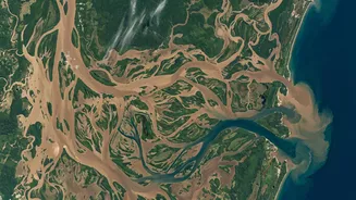
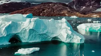
Water, the lifeblood of the nation, is another key area of focus. Satellites can monitor the health and extent of rivers, lakes, and reservoirs. This capability becomes especially crucial during extreme weather events. During droughts, imagery can reveal the dramatic shrinking of vital water sources, such as the lakes supplying Chennai. Conversely, during monsoon floods, radar satellites that see through clouds can map the extent of inundated areas in near real-time, helping disaster response teams identify affected communities and plan rescue routes. This data also provides long-term insights into the retreat of Himalayan glaciers and changes in groundwater levels, both of which have profound implications for India's water security.
From Data to Development
This wealth of satellite data is more than just a scientific curiosity; it's a vital tool for governance and sustainable development. ISRO has made high-resolution land use maps available to local government bodies, including for every village in the country. This information is integrated into portals like 'Grammanchitra' to support gram panchayats in making data-driven decisions for local planning. By providing clear evidence of land use patterns, environmental degradation, and infrastructure development, this satellite perspective helps policymakers assess the impact of projects, manage resources more effectively, and plan for a more resilient future.