




The Cross-Border River System
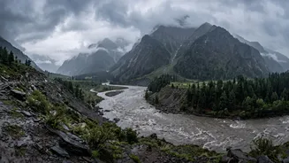
Many of North India's major rivers do not originate within its borders. Several tributaries of the Ganga basin, including the Gandak, Ghaghara (also known as Karnali in Nepal and Sarayu in India), and Rapti, begin their journey in the Himalayas in Nepal and Tibet.
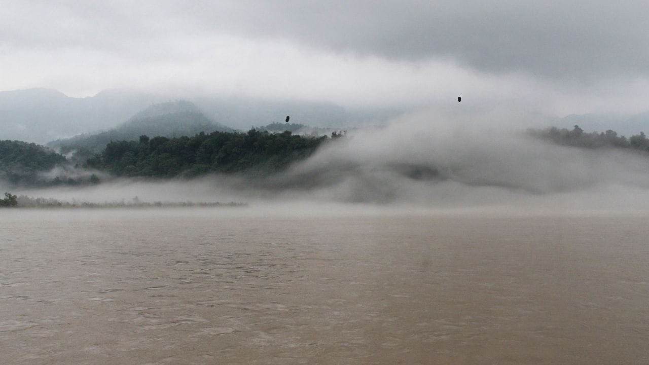
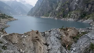
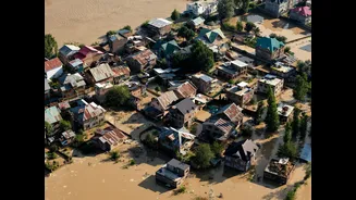
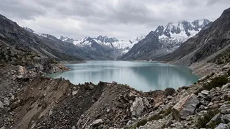
After gathering immense force and volume from monsoon rains in their mountainous catchment areas, they flow south onto the flat, densely populated Gangetic plains of India. This geographical reality means that when Nepal experiences extreme rainfall or events like a glacial lake outburst, the downstream impact is felt most acutely in Bihar and Uttar Pradesh.
The Gandak: Bihar’s Perennial Challenge
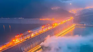
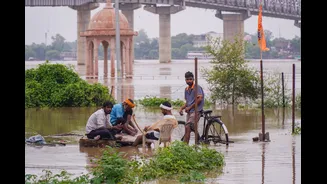
The Gandak river, called Narayani in Nepal, is a major focus of concern during monsoon season. It flows into Bihar through West Champaran and affects several districts, including East Champaran, Gopalganj, Muzaffarpur, Saran, and Vaishali. To manage its flow, the Gandak Barrage was constructed at Valmikinagar on the India-Nepal border. When there is a surge of water from Nepal, as seen in the recent alerts from August 2026, authorities in Bihar must make critical decisions. Recently, all 36 gates of the barrage were opened to handle a massive discharge of water, a standard procedure to prevent a catastrophic build-up of pressure on the structure and mitigate flood damage.
Ghaghara and Rapti: The Threat to Uttar Pradesh
Similarly, Uttar Pradesh keeps a close watch on rivers flowing from Nepal. The Ghaghara and Rapti rivers directly impact the state's eastern districts. Areas like Maharajganj and Kushinagar in the Gandak basin and other districts in the Rapti basin are vulnerable. The recent flash floods in Nepal prompted Chief Minister Yogi Adityanath to place districts bordering Nepal on high alert, anticipating a surge in the Gandak and Narayani rivers. This close connection means that disaster preparedness in districts like Gorakhpur, a region historically affected by Rapti floods, is often directly tied to weather events unfolding hundreds of kilometres away in the Nepali Himalayas.
A System of Cooperation and Early Warnings
The recurring threat has led to a crucial, though complex, system of cross-border cooperation. India and Nepal have a three-tier bilateral mechanism to address water resource issues. A key component of this is the real-time sharing of hydro-meteorological data. During the monsoon, Nepal's Department of Hydrology & Meteorology provides hourly updates on river flows, which are used by India's Central Water Commission to formulate flood forecasts for Bihar and Uttar Pradesh. These "flood alerts" are not just news; they are actionable intelligence. This data allows authorities to activate response teams like the NDRF, issue evacuation warnings, and manage dam and barrage gates to control water flow, turning hours of advance notice into life-saving measures.