



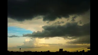

The Starting Gun in the Northwest
The entire monsoon phenomenon is driven by a temperature difference between the land and the sea. During summer, the intense heating of the Indian subcontinent, particularly the Tibetan Plateau, creates a vast low-pressure area that pulls in moisture-laden
winds from the Indian Ocean. The withdrawal is simply this process running in reverse. By late September, with the sun moving south, the landmass in northwestern India begins to cool down faster than the surrounding seas. This cooling weakens the low-pressure system that acted as the monsoon's engine. The wind over the desert is the first to turn around, marking the beginning of the end for the rainy season.
An Atmospheric Tug-of-War
Think of the monsoon's withdrawal as a battle between two massive air systems. On one side are the warm, moist southwesterly winds that bring the rain. On the other are the cool, dry northwesterly winds from the land. As the low-pressure trough over the Gangetic plains weakens and shifts south, the dry northwesterlies gain the upper hand. The India Meteorological Department (IMD) officially declares a withdrawal from an area only after a specific set of conditions are met for five consecutive days: a cessation of rainfall, a significant drop in moisture, and the establishment of an anticyclone in the lower atmosphere.
The High-Pressure Push
A key player in this retreat is the anticyclone—a large-scale circulation of winds around a central region of high atmospheric pressure. As the northwest cools, this high-pressure system establishes itself over the region. Unlike a low-pressure cyclone where air rises and creates clouds, an anticyclone features descending air, which inhibits cloud formation and leads to dry, clear skies. This high-pressure zone effectively acts like a blocker, physically pushing the moist monsoon system further south and east, clearing the way for dry continental air to take over.
A Cross-Country Journey
This process results in a withdrawal that unfolds like a slow reverse of the monsoon's onset. It typically begins in far west Rajasthan around mid-September and progresses southeastward. By the end of the month, it has usually left Punjab, Haryana, and Delhi. The withdrawal line then travels across the central parts of the country through early October, finally retreating from the southern peninsula by mid-to-late October, and sometimes even later. For instance, the withdrawal from the Coromandel coast in the southeast might not happen until mid-December, a stark contrast to Punjab, where it ends in the second week of September.
The 2026 Withdrawal Status
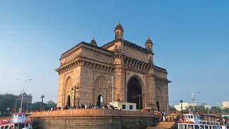
This year follows the classic pattern. The monsoon's withdrawal began from western Rajasthan on September 19. By early October, the IMD announced that the monsoon had withdrawn from all of north India, Gujarat, and Madhya Pradesh, with the withdrawal line passing through regions like Bihar, Chhattisgarh, and Maharashtra as of October 3. In Mumbai, the monsoon withdrew on October 3, five days ahead of its normal date, marking the earliest retreat for the city in over twenty years. The complete withdrawal from the entire country is expected to be declared once conditions are met across the remaining parts of the peninsula.
A Different Story in the South
Complicating the picture is the onset of the Northeast Monsoon, also known as the retreating monsoon. As the Southwest Monsoon pulls back, the wind patterns over the Bay of Bengal reverse. These new northeasterly winds pick up moisture from the bay and bring rain primarily to the southeastern coast, including Tamil Nadu, Puducherry, and parts of Andhra Pradesh and Kerala, from October to December. This means that just as most of the country is welcoming dry, post-monsoon weather, this region is entering its main rainy season, highlighting the remarkable complexity of India's climate system.