






What Are Marine Warnings?
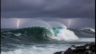
Beyond a typical weather report, early marine warnings are a sophisticated system designed to detect and alert coastal populations to life-threatening events originating from the sea. In India, this responsibility is primarily handled by the Indian National
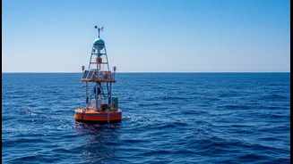
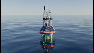
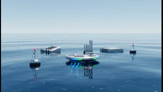
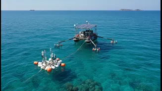
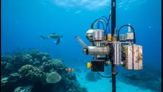
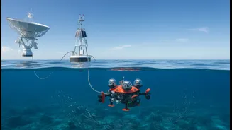
Centre for Ocean Information Services (INCOIS) in Hyderabad and the India Meteorological Department (IMD). Following the devastating 2004 Indian Ocean tsunami, India established a state-of-the-art Tsunami Early Warning System. This system uses a network of seismic sensors to detect undersea earthquakes, deep-ocean buoys to confirm the generation of a tsunami wave, and tide gauges to monitor sea-level changes. For cyclones, the IMD uses satellite data, radar, and other meteorological tools to track storms, predict their intensity and path, and issue warnings about wind speeds and storm surges. These warnings are not just forecasts; they are complex advisories designed to trigger action from disaster management authorities to save lives.
Why 'More Than Ever'?
The urgency in the scientific community is driven by the clear and present impacts of climate change. A warmer planet means warmer oceans. The Indian Ocean is warming faster than the global average, providing more fuel for cyclones. This has led to a documented increase in the frequency, intensity, and duration of cyclonic storms, particularly in the Arabian Sea, which was historically less active than the Bay of Bengal. Furthermore, global sea levels are rising, which has two major effects. First, it permanently inundates low-lying coastal areas. Second, it provides a higher launchpad for storm surges, allowing cyclone-driven flooding to penetrate further inland and cause more damage. With millions of people and critical infrastructure concentrated in coastal cities like Mumbai, Chennai, and Kolkata, the risk to life and property has multiplied.
India's Strengths and Vulnerabilities
India has made remarkable strides in its warning capabilities, particularly after 2004. INCOIS now operates a world-class tsunami warning centre that not only protects India's 7,500-kilometre coastline but also provides advisories to 25 other Indian Ocean nations. The accuracy of cyclone forecasting has also improved dramatically, leading to more effective and timely evacuations that have saved countless lives. However, significant vulnerabilities remain. Rising sea levels and coastal erosion threaten homes, livelihoods, and ecosystems. Increased salinity from seawater intrusion contaminates drinking water and agricultural land, impacting food security for coastal communities. Cities like Mumbai and Chennai are losing their natural buffers, such as wetlands and mangroves, to rapid urbanisation, making them even more susceptible to flooding. The very economic engines of the coast—ports, fisheries, and tourism—are all on the frontline of this crisis.
The Last-Mile Challenge
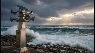
Issuing a technologically perfect warning is only half the battle. The greatest challenge, and a key focus for improvement, is ensuring the alert reaches the most vulnerable person in a remote fishing hamlet or a low-lying urban slum. This is known as the "last-mile connectivity" problem. An effective warning must be received, understood, and trusted by the people who need to act on it. India has developed a multi-channel approach using SMS, mobile apps, TV, radio, and public sirens to disseminate alerts. However, gaps persist, especially in reaching populations with low connectivity or in a language they understand. Experts argue that strengthening this final link in the chain—through community involvement, local action plans, and public education—is as critical as improving the forecasting technology itself.