


What Are Earth Observation Satellites?
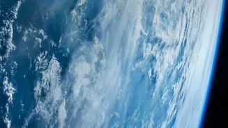
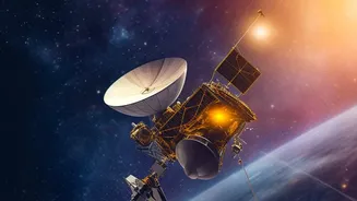
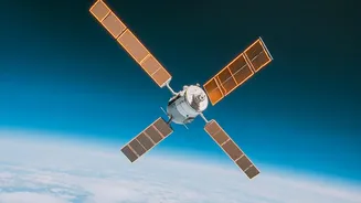
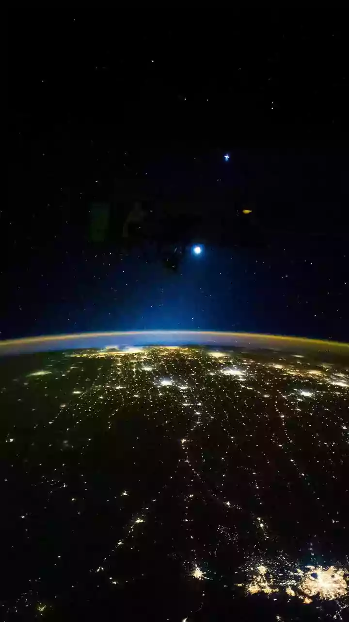
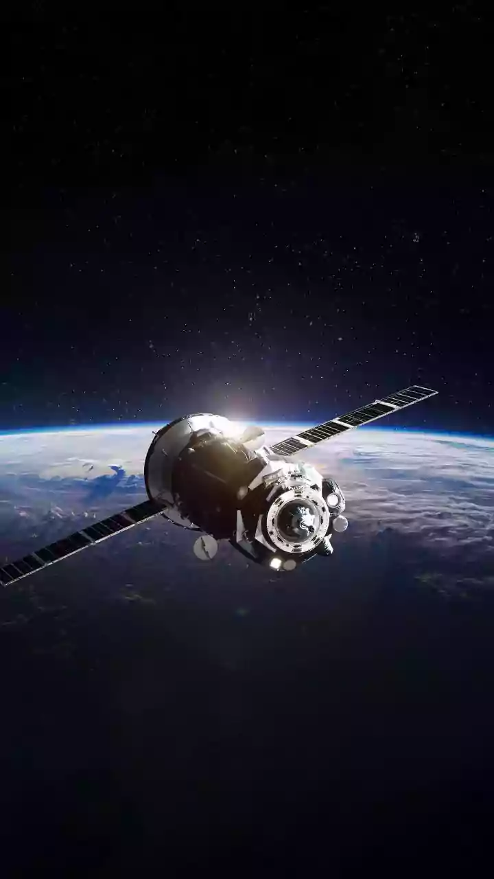
Think of Earth Observation (EO) satellites as sophisticated cameras orbiting our planet, equipped with special sensors. These satellites, many operated by the Indian Space Research Organisation (ISRO), continuously monitor our land, oceans, and atmosphere.
Unlike a regular camera, they capture data across different wavelengths of light, including infrared, which reveals details invisible to the human eye. This allows scientists and authorities to track everything from crop health and soil moisture to cloud patterns and sea surface temperatures. Missions like ISRO's INSAT, Resourcesat, and Oceansat series provide a constant stream of invaluable data about our changing planet.
A Revolution in the Fields
For India's agricultural sector, which employs hundreds of millions, this technology is a game-changer. Before satellites, assessing crop health over a large area was a slow, manual process. Now, a satellite can monitor millions of fields in a single pass. By analysing how crops reflect light (a measure called NDVI), experts can detect stress from drought, pests, or nutrient deficiency long before it's visible on the ground. This allows for precise, timely interventions. Farmers receive advisories, sometimes via mobile apps, helping them use water, fertilisers, and pesticides more efficiently. This not only reduces costs and environmental impact but can also improve crop yields significantly. Programs like ISRO's FASAL (Forecasting Agricultural output using Space, Agrometeorology and Land-based observations) use this data to forecast crop production, which is vital for national food security planning.
Predicting Nature's Fury
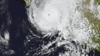
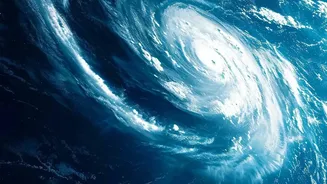
When it comes to weather, satellites are our frontline defense. The INSAT series of geostationary satellites provides continuous observation, which is crucial for tracking the formation and path of cyclones in the Bay of Bengal and the Arabian Sea. The India Meteorological Department (IMD) relies heavily on this data to issue accurate and timely warnings, which have saved countless lives over the years. Satellites like INSAT-3D and INSAT-3DR can measure cloud top temperatures, wind speeds, and humidity, providing critical inputs for weather prediction models. This capability extends beyond cyclones to forecasting monsoons, monitoring for drought conditions through soil moisture data, and providing early warnings for extreme rainfall events that could lead to floods.
Data for Decisions
The raw images from space are just the beginning. The real magic happens when this data is processed and turned into actionable information. ISRO's centres in Ahmedabad and Hyderabad are hubs for processing this data, correcting for atmospheric distortions, and developing software that government agencies can use. This information is then distributed through platforms like the Bhuvan geo-portal and provided to disaster management bodies. For farmers, this translates to advisories on when to sow, irrigate, or protect their crops. For weather services, it means more reliable forecasts and the ability to warn vulnerable coastal communities well in advance of a storm, allowing for preparation and evacuation.