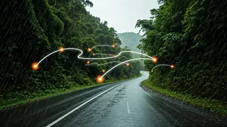


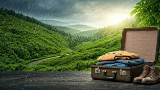


The End of Coordination Chaos
The single biggest challenge of a multi-car road trip is keeping everyone together. Endless 'Where are you?' calls, missed turns, and frantic coordination at toll plazas can drain the fun out of the journey. This is where shared digital maps become your
command centre. Modern apps like Google Maps and Waze allow you to share your live location with the group for a set period. Instead of guessing, every driver can see a real-time icon of the other cars on their own map. This simple feature transforms the experience. You can see if the lead car has pulled over, if a car at the back is stuck in traffic, or if someone has accidentally taken an exit. It eliminates the anxiety of separation and allows each driver to focus on the road, knowing the digital convoy is intact.
One Route to Rule Them All
Before the trip even begins, the arguments over the 'best' route can start. One person trusts their gut, another prefers the highway, and a third wants the scenic detour. A shared digital route plan settles this debate democratically and efficiently. The trip organiser can create a master route on their mapping app, complete with all the planned stops, and share a single link with everyone. When others open this link, the exact same route, with the same waypoints, loads onto their device. This ensures everyone is navigating to the same destination via the same path. No more accidental detours or confusion over which 'shortcut' to take. The group moves as one, following a pre-agreed plan that everyone has access to, right on their phone.
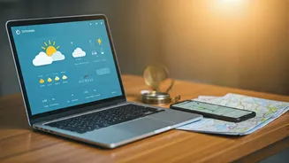
The Offline Lifeline in No-Network Zones
Monsoon trips often take us to beautiful, remote places where the scenery is breathtaking, but the mobile network is non-existent. This is where a digital map can fail you, unless you plan ahead. The most crucial feature for any Indian road trip is the ability to download maps for offline use. Before you leave, determine your entire route corridor and download the relevant map sections in your app. This means that even when you lose your data connection in the ghats or a remote valley, your GPS will still work, and your pre-loaded route will remain active. You can continue to navigate without interruption. For a group, it’s vital that every car does this. If only one car has the offline map, you’re back to square one the moment you hit a dead zone.
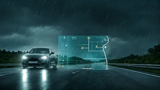
Dodging Monsoon-Specific Dangers
Driving in the monsoon isn't just about enjoying the rain-washed landscapes; it’s also about navigating potential hazards. Waterlogged roads, fallen trees, and landslides are real risks that can bring a trip to a screeching halt. Crowdsourced data is your best friend here. Apps like Google Maps and Waze use real-time traffic data and user reports to flag these issues. You might see an alert for a flooded underpass ahead or a road closure due to a landslide, allowing your convoy to re-route proactively. While not foolproof, these real-time alerts provide an invaluable layer of safety. By having a shared route, when one person spots an alert, the entire group can be notified and a new plan can be made and shared instantly, saving everyone from getting stuck.
Collaborative Pit Stops and POIs
A road trip is defined by its stops—the chai stall with the perfect view, the hidden waterfall, or the highly-rated restaurant for lunch. Planning these stops can be a collaborative and fun part of the journey using shared maps. Apps allow you to add multiple stops or points of interest (POIs) to a route. Before the trip, everyone in the group can suggest places by dropping pins on a shared map or adding them to a collaborative list. The group can then vote or decide on the final itinerary. This makes everyone feel included in the planning process. During the drive, it’s easy to find the nearest petrol pump, pharmacy, or restroom and add it as a quick detour that everyone in the convoy can see and follow, ensuring no one gets left behind during an unscheduled break.