



An Unblinking Eye in the Sky
India, with its diverse and dramatic geography, is no stranger to natural disasters. From the Himalayan highlands to coastal plains, floods and landslides are recurrent threats that displace millions and cause widespread damage. For decades, responding
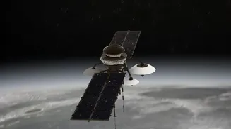
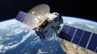
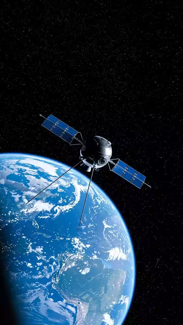
to these events was a ground-level battle against chaos. Today, however, much of the critical intelligence comes from hundreds of kilometres above Earth. Satellites operated by the Indian Space Research Organisation (ISRO) and other international agencies act as tireless observers. They provide a synoptic view, capturing vast areas in a single frame, offering data that is impossible to gather quickly from the ground, especially when roads are washed away and terrain is inaccessible. This fleet of orbital sentinels forms the backbone of India’s modern disaster management strategy, giving scientists the tools to see, measure, and increasingly, predict.
Seeing Through Clouds and Darkness
One of the biggest challenges in monitoring monsoon-related disasters is the weather itself. Thick cloud cover and torrential rain can blind conventional optical satellites, which work like a camera in space. This is where a technology called Synthetic Aperture Radar (SAR) becomes invaluable. SAR satellites, like India's RISAT series, don't rely on light; instead, they send out microwave pulses and read the signals that bounce back. These radar signals can penetrate clouds, rain, and even darkness, providing clear images day or night, in any weather. For flood mapping, this is a game-changer. Calm water acts like a mirror and reflects the radar signal away from the satellite, appearing as dark patches in the imagery. By comparing a 'before' image with one taken during a flood, scientists can instantly map the precise extent of inundation with remarkable accuracy, showing exactly which villages, farms, and roads are underwater.
Tracking a Landslide Before It Happens
While floods are often about mapping water, landslides are about detecting movement. Here, another radar technique called Interferometric SAR (InSAR) is used. By comparing two SAR images of the same slope taken at different times, scientists can detect tiny changes in the ground surface, sometimes down to a few centimetres. This allows them to identify areas where the ground is slowly deforming or creeping downwards—a potential early warning sign of an impending landslide. While it is still difficult to predict the exact moment a slope will fail, this data helps authorities identify high-risk zones. This information is crucial for long-term planning, helping to decide where it is unsafe to build and which existing communities might need reinforcement or relocation. For active disaster response, these before-and-after images can also rapidly assess the scale of the debris field and identify where the collapse originated.
From Data to Life-Saving Decisions
Raw satellite data is just the beginning. The real value lies in turning these images into actionable information for agencies like the National Disaster Management Authority (NDMA). When a disaster strikes, ISRO's National Remote Sensing Centre (NRSC) gets to work, processing the data to create near real-time maps. These maps showing flood inundation or landslide-blocked roads are disseminated to state and central authorities. This intelligence helps responders plan evacuation routes, prioritise the deployment of rescue teams to the worst-hit areas, and identify safe locations for relief camps. After the event, the same satellite data is used for damage assessment, calculating the extent of crop loss or the number of affected structures, which guides recovery and compensation efforts. This flow of information—from orbit to office to on-the-ground operations—is a critical chain that helps save lives and reduce suffering.