







A Groundbreaking Partnership in Orbit
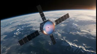
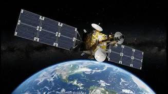
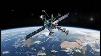
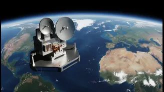
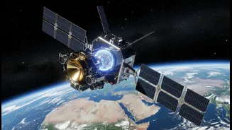
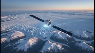
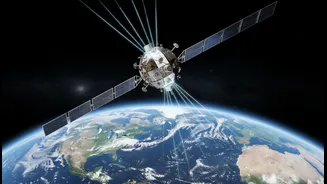
NISAR, which stands for NASA-ISRO Synthetic Aperture Radar, is more than just another satellite. It represents a historic partnership and is one of the most advanced Earth-observation missions ever launched. Sent into orbit from India, this sophisticated
observatory is the result of years of collaboration, combining the expertise and technological prowess of both space agencies. NASA provided the L-band radar, a high-rate communication subsystem, and GPS receivers, while ISRO contributed the spacecraft itself, the S-band radar, and the launch vehicle. The goal is to systematically map nearly the entire globe every 12 days, creating an unprecedented time-lapse movie of our planet's surface in motion. This data, which will be made freely and openly available, will empower scientists and policymakers around the world.
How NISAR Sees the Unseen
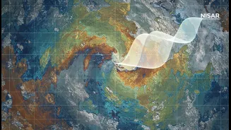
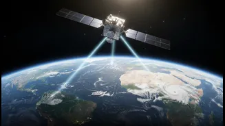
What makes NISAR so powerful is its use of Synthetic Aperture Radar (SAR). Unlike a regular camera that needs light, radar actively sends out microwave signals and analyses the echoes that bounce back. This allows NISAR to see through clouds, and darkness, and even penetrate forest canopies, providing consistent data in all weather, day or night. The satellite is uniquely equipped with two different radar frequencies: a longer wavelength L-band and a shorter S-band. Think of it as having two different types of vision. The L-band can penetrate deeper, helping scientists track the movement of ice beneath snow, while the S-band is more sensitive to things like moisture content in the snow, an indicator of melting. By repeatedly scanning the same area, NISAR can detect changes in the Earth’s surface down to a centimetre.
Taking the Pulse of Global Ice
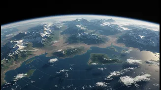
One of NISAR's primary missions is to monitor the cryosphere—the frozen parts of our planet. This includes the vast ice sheets of Antarctica and Greenland, mountain glaciers, and sea ice. These regions are critical indicators of climate change, but previous satellite missions have provided only isolated snapshots or lacked the resolution to monitor fast-moving glaciers. NISAR will provide a continuous and detailed record of how fast glaciers are flowing, where they are thinning, and how ice shelves—the floating extensions of glaciers that hold back land ice—are changing. This data is vital because the melting of these massive ice sheets is the largest contributor to global sea-level rise, posing a direct threat to coastal communities worldwide. By understanding the mechanics of ice loss, scientists can build more accurate models to predict future sea-level rise.
The Himalayan 'Third Pole' in Focus
For India, NISAR’s capabilities are particularly crucial for monitoring the Himalayas. Often called the 'Third Pole', this mountain range contains the largest volume of ice outside of the polar regions. These glaciers are the source of major rivers that provide water for millions of people across Asia. However, monitoring them is incredibly difficult due to rugged terrain and persistent cloud cover. An ISRO scientist noted that the beauty and difficulty of the Himalayas are the clouds. NISAR’s all-weather radar will cut through that challenge, providing the first consistent and complete dataset of this critical region. This will help in managing water resources, predicting seasonal water availability, and, crucially, improving early warnings for glacier-related hazards like landslides and Glacial Lake Outburst Floods (GLOFs), which pose a significant threat to communities downstream.
Beyond Ice: A Tool for a Safer Planet
While tracking ice is a key objective, NISAR’s applications extend much further. Its ability to detect minute surface changes makes it an invaluable tool for disaster management. It will be used to study ground deformation before volcanic eruptions and earthquakes, map the extent of flood damage even under dense vegetation, and monitor landslides. The mission will also track deforestation, measure the carbon stored in forests, and monitor soil moisture to aid agriculture. By providing comprehensive, reliable, and frequent data on everything from our coasts and forests to our farms and mountains, NISAR will help India and the world build resilience against natural hazards and better manage the impacts of a changing climate.