








The Magic of an Unblinking Eye
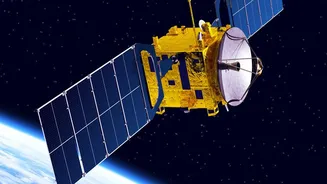
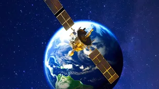
At approximately 36,000 kilometres above the equator lies a special orbit known as geostationary orbit (GEO). A satellite placed here moves at the same speed as the Earth's rotation. The result? It appears to 'hover' over a fixed point on the ground.
This isn't science fiction; it's the key to 'persistent coverage'. Unlike satellites in Low Earth Orbit (LEO) that zip around the planet in about 90 minutes, a GEO satellite provides continuous, 24/7 observation of a vast area. This ability to maintain a constant watch over a specific region, such as the entire Indian subcontinent, is what makes this orbit so invaluable for security and intelligence.
Securing the Borders and Beyond
India's complex and often tense land borders with China and Pakistan demand constant vigilance. GEO satellites equipped with advanced imaging technology, including optical and synthetic aperture radar (SAR), act as 'eyes in the sky'. They provide real-time, high-resolution imagery that can detect troop movements, infrastructure build-up, and other activities in remote or inaccessible areas, regardless of weather or time of day. Upcoming satellites like EOS-05 are specifically designed for this, offering continuous monitoring to support both military and civilian applications. This persistent surveillance allows security forces to receive timely warnings, enhance situational awareness, and counter threats before they escalate, forming a critical layer of India's defence architecture.
A Secure Lifeline for Military Communications
Modern warfare is network-centric, meaning it relies on secure and instantaneous communication between assets on land, in the air, and at sea. India's dedicated military communication satellites, such as those in the GSAT series, operate from geostationary orbit. The GSAT-7 series, for instance, provides a secure communication backbone for the Indian Navy and Air Force. Satellites like GSAT-7 'Rukmini' can network dozens of ships and aircraft across the vast Indian Ocean Region, ensuring commanders have a unified operational picture. This allows for coordinated action, where a threat detected by one unit can be shared across the network instantly. This capability is crucial for maintaining command and control during critical operations and reducing dependence on foreign satellite systems.
Dominating the Maritime Domain
With a 7,500-kilometre coastline and a strategic location in the Indian Ocean, maritime domain awareness is a top priority. GEO satellites are indispensable for monitoring shipping lanes, tracking suspicious vessels, and combating threats like piracy and illegal fishing. Satellites like the GSAT-7R are specifically designed to enhance the Indian Navy's reach, extending secure communication and surveillance coverage thousands of kilometres from the coast. This persistent oversight helps create a comprehensive picture of the maritime environment, allowing the Navy and Coast Guard to safeguard India's economic and security interests at sea.
A Dual-Use Advantage for the Nation
The benefits of geostationary satellites extend far beyond the battlefield. The same technology that monitors borders also plays a crucial role in disaster management, providing vital communication links when terrestrial networks are down. They are used for weather forecasting, tracking cyclones, and coordinating relief efforts. Furthermore, these satellites are the backbone of telecommunications, enabling everything from DTH television services to VSAT networks that connect remote bank branches. This dual-use nature means that investments in space technology for security purposes yield significant dividends for civilian progress and economic development, reinforcing the overall resilience of the nation.