





A Bird's-Eye View of the Chaos
During a major natural disaster, the first challenge for response teams is understanding the scale of the problem. Where has the water reached? Which villages are cut off? Where have landslides blocked critical roads? Answering these questions quickly
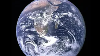
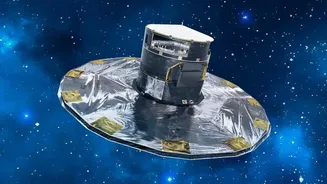
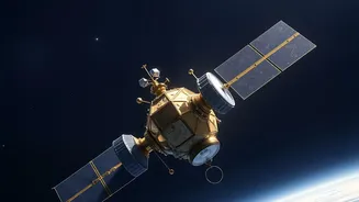
is a matter of life and death. This is where satellite data provides an unparalleled advantage. Orbiting spacecraft can survey vast, inaccessible areas, offering a clear and comprehensive picture that is impossible to get from the ground. Agencies like the Indian Space Research Organisation (ISRO) and its National Remote Sensing Centre (NRSC) are tasked with acquiring and processing this crucial data. By using a fleet of Earth observation satellites, they provide disaster management authorities with near real-time information to guide life-saving decisions.
Seeing Through Clouds and Darkness
Floods and landslides often happen during extreme weather, meaning heavy cloud cover and torrential rain. For standard optical satellites, which work like a camera, these conditions are a major problem. However, modern disaster monitoring relies heavily on a technology called Synthetic Aperture Radar (SAR). SAR satellites don't need light; they send out microwave radar signals that can penetrate clouds, smoke, and darkness. The way these signals bounce back reveals incredible detail about the ground surface. Smooth water surfaces, like floodwaters, reflect the signal away from the satellite, appearing as dark patches in the final image. This allows authorities to map the precise extent of flooding, day or night, rain or shine, ensuring that response efforts are never blind.
From Raw Data to Actionable Maps
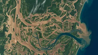
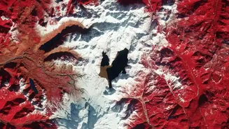
The images from space are just the beginning. The real magic happens when this raw data is transformed into actionable intelligence. At centres like the NRSC in Hyderabad, scientists and technicians process satellite imagery to create detailed maps that highlight the disaster's impact. By comparing images taken before and after the event, they can perform 'change detection' to pinpoint exactly what has been affected. These maps can show the depth and spread of floodwaters, identify fresh landslides on vulnerable slopes, and assess damage to critical infrastructure like bridges, roads, and buildings. This information is then rapidly disseminated to national and state disaster management authorities, as well as the National Disaster Response Force (NDRF), giving them a clear operational picture.
Guiding Boots on the Ground
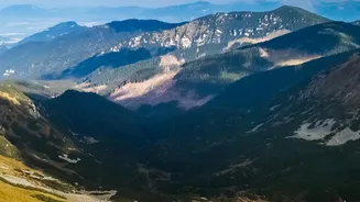
For rescue teams, this information is invaluable. Instead of relying on scattered and often delayed reports, they can use satellite-derived maps to plan their operations effectively. These maps help them identify the worst-hit areas, locate stranded populations, and plan the safest routes for evacuation and supply delivery. In the case of landslides, satellite data helps in identifying unstable slopes that might pose a future risk, allowing for preemptive evacuations. In India, ISRO provides these vital inputs through dedicated programmes and platforms like the National Database for Emergency Management (NDEM), which serves as a central hub of geospatial information for disaster managers across the country. This direct link between space technology and on-the-ground action significantly improves the efficiency and effectiveness of rescue operations.
Beyond the Immediate Crisis
The role of satellite data doesn't end when the floodwaters recede or the rescue operations conclude. In the post-disaster phase, it is essential for long-term recovery and planning. High-resolution imagery helps authorities conduct detailed damage assessments, which are crucial for allocating relief funds and processing insurance claims. Furthermore, the data gathered over time contributes to a better understanding of a region's vulnerabilities. By analyzing historical flood patterns and landslide-prone zones, urban planners and engineers can make more informed decisions about infrastructure development. This includes building more resilient roads and bridges, improving drainage systems, and implementing better land-use policies to mitigate the impact of future disasters. Satellite inventories of glaciers and glacial lakes, for instance, help monitor risks like Glacial Lake Outburst Floods (GLOFs) in Himalayan regions.