




The Sobering Reality of Bengaluru's Flood Risk
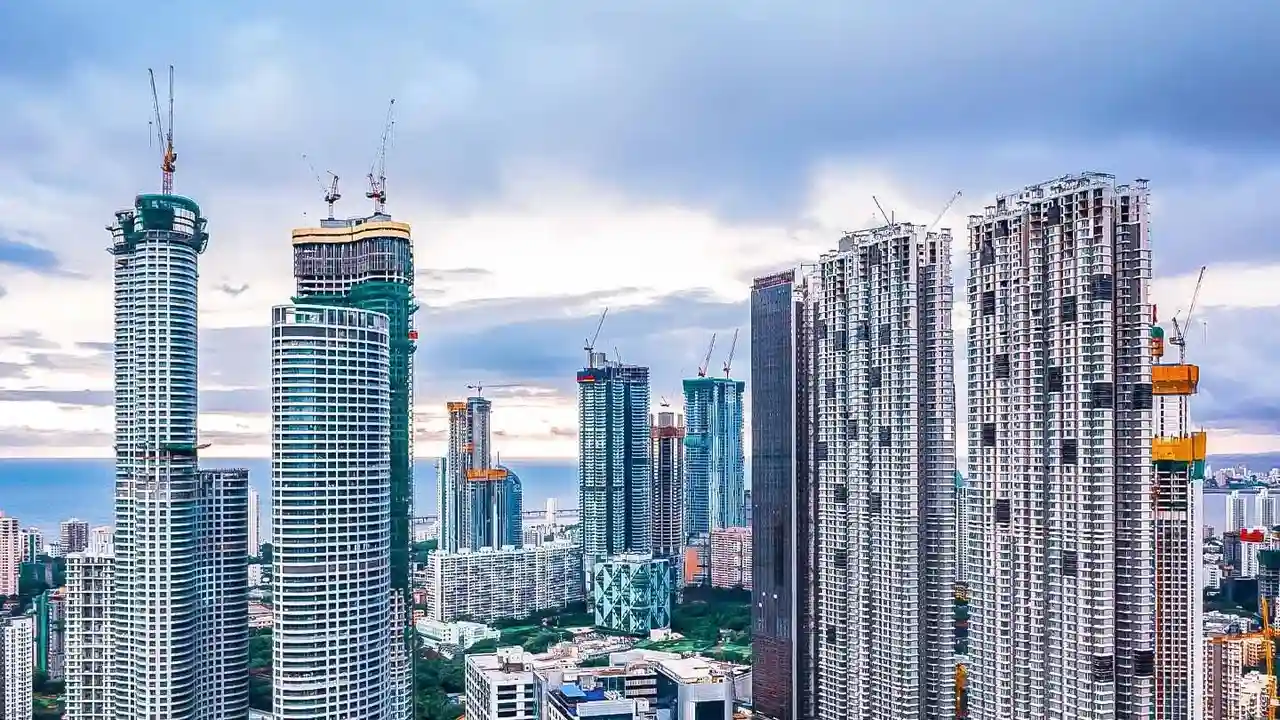
Bengaluru’s rapid, often unplanned, urbanisation has come at a cost. The city, built on a ridge with three natural valley systems, once relied on an interconnected network of lakes and stormwater drains, known as Raja Kaluves, to manage monsoon rains.
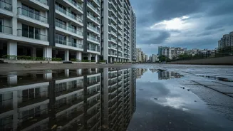
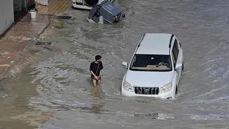
Today, many of these vital channels are encroached upon, narrowed, or simply built over. The consequences are severe, with frequent flooding in areas once considered prime real estate. A new study by Propsoch Research underscores the scale of the problem. After analysing over 600 RERA-approved housing projects, it found that more than half face some form of water-related site risk. Specifically, 45% of projects are located on or next to a stormwater drain, while another 8% are on low-lying land vulnerable to waterlogging.
What the New Research Reveals
The research highlights that homebuyers often focus on the apartment's carpet area, the builder's reputation, and amenities, but neglect to study the ground the building stands on. The study found that while the highest risks are concentrated around the larger primary and secondary drains, smaller tertiary drains are more frequently incorporated into a project's layout, often hidden within common areas. This makes them difficult for buyers to spot during a site visit. The report confirms that proximity to a well-maintained drain isn't automatically a problem, but this critical information is rarely disclosed. This leaves buyers unaware of the potential for flooding until it's too late. The issue is not necessarily more rainfall, but that the water has nowhere to go.
Your Most Powerful Tool: The Drain Map
To avoid a catastrophic investment, prospective homebuyers must become proactive investigators. The most crucial tool in this process is the official drain map. These maps, maintained by civic bodies like the Bruhat Bengaluru Mahanagara Palike (BBMP) and the survey department, show the historical and current paths of the city's stormwater drains. By cross-referencing a property's survey number with these maps, you can determine if the land is on or near a Raja Kaluve. This is not just about avoiding properties directly on a drain; it's also about understanding buffer zones—the legally mandated no-construction areas around these drains. A property outside a drain but within its buffer zone can still face legal and construction-related restrictions.
A Step-by-Step Guide to Checking
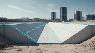
Verifying a property's status relative to drains has become easier with digital tools. Here’s a simplified process: 1. Gather Property Details: Before you begin, you need the property's survey number, village, hobli, and taluk. This information is usually found in the sale deed or property tax documents. 2. Use Online Portals: The Karnataka government's land records website allows you to download ward maps in KMZ format, which can be viewed on Google Earth Pro. This overlays the official survey maps onto a familiar satellite view. Additionally, citizen-led initiatives and portals like 'rajakaluve.org' were launched by IIMB-RERI to simplify this search, collating data from BBMP and revenue department maps. 3. Identify Drains: On these maps, Raja Kaluves are typically depicted as parallel blue or aqua lines. You can check the property's survey number against these drain paths. 4. Consult an Expert: While online tools are powerful, they are not a substitute for professional verification. A property lawyer or a qualified surveyor should conduct a final check as part of the formal due diligence process.
Beyond the Map: Other Essential Checks
Checking the drain map is a critical first step, but it shouldn't be the only one. Ask the developer or seller directly about drainage systems and observe their response. A hesitation or defensive answer can be a red flag. Visit the property during a heavy downpour, if possible, to see how the area and its drainage cope in real-time. Look for physical signs of past flooding, such as water stains on lower walls of nearby buildings. Talk to residents in the neighbourhood about their experiences with waterlogging during monsoons. Their anecdotal evidence can be invaluable and provide context that maps alone cannot.