

Water Vapour: Weather's Invisible Engine
All weather, from a gentle shower to a devastating cyclone, is driven by water. Specifically, it's powered by atmospheric water vapour—the invisible gaseous state of water. Think of it as the fuel for weather systems. It stores and transports enormous
amounts of energy across the globe. When this vapour condenses into clouds, it releases that stored energy, powering storms and generating precipitation. The challenge for meteorologists has always been that this crucial element is not only invisible but also incredibly dynamic, its concentration varying wildly from place to place and hour to hour. Accurately predicting where and when a storm will hit requires knowing exactly where the 'fuel' is located. Without a precise, real-time map of water vapour, forecasting was often a game of educated guesswork.
The Unblinking Eye in the Sky
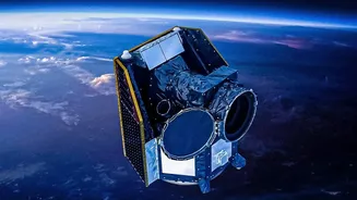
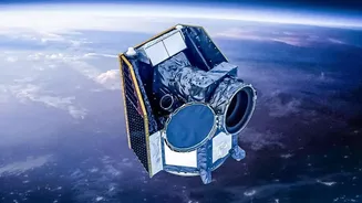
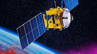
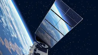
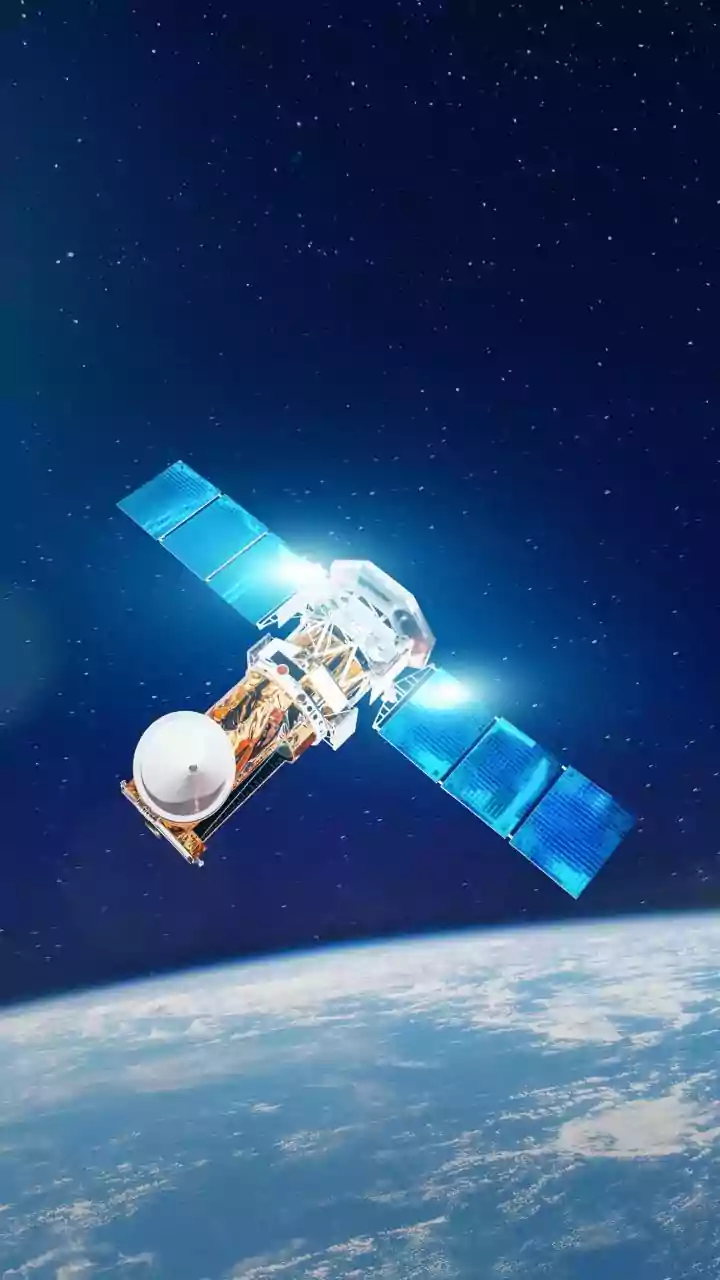
This is where high-altitude geostationary satellites come in. Positioned at an altitude of about 35,786 kilometres, these satellites orbit the Earth at the same speed as the planet's rotation. This allows them to remain 'fixed' over a specific region, providing a continuous, uninterrupted view. For India, ISRO's series of INSAT satellites, such as INSAT-3D, INSAT-3DR, and the recently launched INSAT-3DS, serve as these crucial 'eyes in the sky'. Unlike polar-orbiting satellites that see a given spot only twice a day, geostationary satellites watch weather systems evolve in real-time. Thanks to this constant monitoring, the India Meteorological Department (IMD) can receive updated imagery and data as frequently as every 15 minutes, a revolutionary leap from the three-hourly updates of older systems.
How Satellites 'See' Invisible Vapour
Satellites cannot 'see' water vapour directly like a camera sees clouds. Instead, they use sophisticated instruments called sounders and imagers that measure radiation across different wavelengths. Water vapour, like other gases in the atmosphere, absorbs and emits thermal radiation in a unique 'fingerprint'. The instruments on satellites like INSAT-3D and 3DR are tuned to detect specific infrared channels associated with water vapour. By analysing the intensity of this radiation, scientists can create a detailed, three-dimensional map of the atmosphere, showing not just where water vapour is, but also its concentration at different altitudes. This provides a vertical profile of atmospheric moisture, a critical piece of information for understanding atmospheric stability and the potential for storm formation.
Turning Data into Your Daily Forecast
This constant stream of satellite data on its own is just a collection of numbers. Its true power is unlocked when it is fed into supercomputers running complex Numerical Weather Prediction (NWP) models. These models are sophisticated simulations of the atmosphere. The accuracy of any forecast depends entirely on the quality of the initial data fed into the model. By providing a highly accurate and continuous picture of moisture distribution, satellite data gives these models a much better starting point. The more precise the initial conditions—temperature, pressure, and especially humidity—the more reliable the forecast will be hours and even days into the future. This process of combining millions of measurements from satellites and other sources to create a coherent picture of the current state of the Earth is called data assimilation.
Real-World Impact for a Nation
For a country like India, where the monsoon is the lifeblood of the economy and cyclones pose a regular threat, this technology is a lifesaver. Continuous tracking of water vapour has dramatically improved the IMD's ability to predict the formation, intensification, and track of cyclones in the Bay of Bengal and the Arabian Sea. Early and accurate warnings save countless lives and help protect property. It also leads to more precise forecasts for the onset and distribution of monsoon rains, which is invaluable for farmers planning their planting schedules. Beyond these large-scale events, the data helps in forecasting localised severe weather events like intense rainfall and thunderstorms, giving communities and disaster management agencies precious time to prepare.