






The Invisible Threat Above
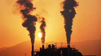
Methane is the primary component of natural gas, but when it escapes into the atmosphere unburned, it becomes a potent greenhouse gas. Over a 20-year period, it is more than 80 times more powerful at trapping heat than carbon dioxide, making it a critical
target for slowing the rate of climate change. The oil and gas industry is a major source of these emissions, which occur through intentional venting and unintentional leaks from wells, pipelines, and storage facilities. For years, the true scale of these emissions was difficult to grasp, often relying on company self-reporting and estimates. Recent data shows these estimates were often dramatically low, with actual emissions in key regions being four times higher than what was reported.
Eyes in the Sky
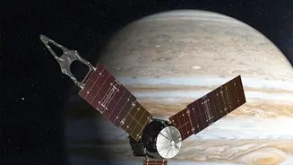
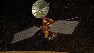
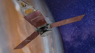
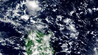
A new generation of advanced satellites, operated by groups like the Environmental Defense Fund (MethaneSAT) and private companies like GHGSat, has changed the game. These instruments use sophisticated sensors to detect the unique signature of methane gas in the atmosphere. They can be divided into two types: wide-angle mappers that scan large regions for emission hotspots, and high-resolution imagers that can zoom in to pinpoint the exact facility, or even the specific piece of equipment, responsible for a leak. This technology effectively makes the invisible visible, transforming a diffuse environmental problem into actionable, public data that identifies specific sources.
Spotlight on the Permian Basin
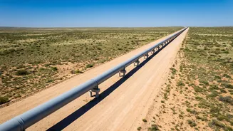
The Permian Basin, a vast oil and gas-producing region spanning West Texas and southeastern New Mexico in the United States, has become a focal point for this new monitoring. It is one of the most productive energy fields in the world, but also one of the largest sources of methane emissions. Studies revealed that the rate of methane leakage in the Permian was significantly higher than other major U.S. basins. The sheer concentration of drilling activity, pipelines, and processing plants creates countless opportunities for leaks. Recent satellite surveys have identified hundreds of major methane plumes in the region, flagging specific sites as “super-emitters” and even “repeat offenders.”
From Data to Action
The public availability of this satellite data has created a new level of accountability. When a satellite identifies a significant methane plume, the information is often posted online, accessible to regulators, investors, and the public. This transparency puts immediate pressure on the identified operator to address the problem. Facing potential regulatory fines and damage to their corporate reputation, companies are now incentivised to dispatch repair crews much faster than they might have in the past. It’s a powerful combination of technological surveillance and public scrutiny that forces rapid response. This shift has also highlighted the impact of policy; satellite data from 2024-2025 showed that methane intensity in the New Mexico portion of the basin was less than half that of the Texas side, a difference attributed to stronger regulations enacted by New Mexico in 2021.
A New Global Standard
This revolution in monitoring is not just about the Permian Basin; it is setting a new global standard for environmental oversight. The ability to independently verify emissions from space undermines opaque self-reporting and empowers nations and investors to hold polluters accountable. With billions of dollars worth of natural gas being wasted through these leaks, there is also a strong economic incentive for companies to tighten their operations. The technology is accelerating a shift toward continuous monitoring and more responsible practices. For an energy-hungry world striving to meet climate goals, these eyes in the sky represent a crucial tool, proving that what can be measured can be managed.