





From Farm to Fork
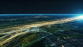
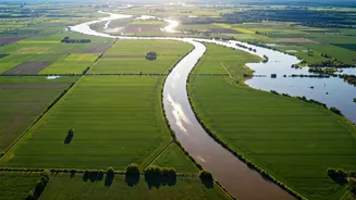
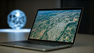
One of the most significant impacts of satellite data is in agriculture, a cornerstone of the Indian economy. Farmers are increasingly using this 'eye in the sky' for what is known as precision agriculture. Satellite imagery helps monitor crop health,
assess soil conditions, and optimize the use of water and fertilizers. By analyzing data across different light spectrums, farmers can detect crop stress, nutrient deficiencies, or pest infestations early on, allowing for targeted interventions that save resources and boost yields. This data-driven approach not only improves farm productivity but also contributes to more sustainable farming practices. In India, satellite data is being used to help with everything from yield predictions to managing land use, ensuring better food security for the nation.
Building Smarter and Safer Cities
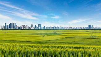
As India's urban centres expand rapidly, satellite data has become an invaluable tool for urban planners and administrators. High-resolution imagery helps monitor urban sprawl, map land use, and plan crucial infrastructure like roads and public services more efficiently. For instance, ISRO's Bhuvan portal uses satellite data for projects like mapping rural roads under the Pradhan Mantri Gram Sadak Yojana (PMGSY), ensuring better connectivity. This technology is also vital for creating smarter, more resilient cities. Planners can analyze traffic flow, identify areas for green space development, and even monitor construction projects to ensure they comply with regulations.
A Shield Against Disaster
India is prone to a variety of natural disasters, from floods and cyclones to landslides and earthquakes. Satellite data plays a critical role in every stage of disaster management. Before a disaster strikes, it helps in creating early warning systems by monitoring weather patterns and environmental conditions. During an event, real-time satellite imagery provides emergency responders with a comprehensive view of the affected areas, allowing them to plan rescue operations and assess damage accurately. After a disaster, this data is crucial for recovery efforts, helping authorities evaluate the extent of damage to infrastructure and allocate resources for rebuilding. Data from Indian satellites has been consistently used to monitor cyclones, floods, and forest fires, saving countless lives.
Tracking the Economy from Orbit
Beyond physical infrastructure, satellite data is now being used to take the pulse of the economy. Financial analysts and businesses are using satellite imagery to gather insights that were previously unavailable. For example, they can monitor activity at ports, track the number of cars in retail parking lots, or observe the construction of new industrial plants to gauge economic activity. In India, a pilot project in Gujarat used satellite images to measure the economic impact of new industrial plants by observing changes in roads, buildings, and vegetation. This provides a powerful, unbiased source of information for investors and policymakers, especially in regions where traditional data reporting might be inconsistent.
The Business of Space
The increasing demand for geospatial data has fueled a burgeoning space economy in India. The sector is projected to be worth nearly INR 63,000 crore by 2025. A growing number of spacetech startups are launching their own constellations of small satellites to provide high-resolution imagery and data services to clients across the globe. This rise of private participation, encouraged by government policies, is democratizing access to space data. From agriculture and insurance to defence and retail, businesses are harnessing this data to gain a competitive edge, create new services, and drive innovation. This has not only created high-skilled jobs but is also integrating space technology into the very fabric of various industries.