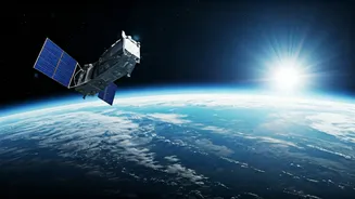


An Unblinking Eye on the Planet
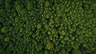
For decades, satellites have helped us understand Earth. Programmes like the US Landsat and the European Copernicus missions have provided a continuous, objective record of our planet’s surface. They are our global watchdogs, tracking the big picture
with breathtaking precision. From space, we can see glaciers retreating in near real-time, measure the alarming rate of sea-level rise, and watch the Amazon rainforest shrink year by year. This long-term data isn't just for scientists; it forms the bedrock of our understanding of climate change. It moves the conversation from abstract models to undeniable visual evidence, providing the large-scale context that no ground-based sensor ever could. This global view allows us to see interconnected systems at work, like how ocean temperatures in the Pacific affect rainfall in India, making satellites an indispensable tool for climate modelling and prediction.
Pinpointing the Polluters
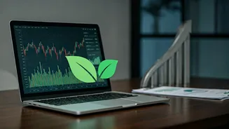
While large-scale monitoring is vital, a new generation of satellites is changing the game by focusing on the invisible culprits: greenhouse gases. Methane, a potent gas with over 80 times the warming power of carbon dioxide in the short term, is a key target. Previously, tracking methane leaks from oil and gas facilities, landfills, or agriculture was a difficult, ground-level task. Today, specialised satellites from companies like GHGSat and the non-profit Carbon Mapper can detect and even pinpoint the exact source of major methane plumes from orbit. This 'hyper-spectral' imaging technology allows them to identify the unique chemical signature of methane in the atmosphere. This capability transforms climate action from a generalised goal to a specific, actionable task. Regulators and companies can no longer claim ignorance; the evidence of leaks is now visible from space, creating immense pressure for immediate repairs and better practices.
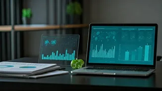
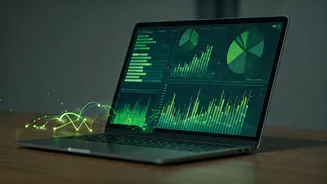
From Data to Accountability
This flood of high-resolution data is creating a new economy of climate accountability. The information gathered by satellites is no longer confined to academic journals. It's being packaged and sold as a business intelligence tool. Investment firms use it to assess the climate risk of their portfolios, insurers use it to model disaster-risk, and corporations use it to verify their supply chains and report on their environmental, social, and governance (ESG) commitments. If a company claims its palm oil is sustainably sourced, satellites from firms like Planet Labs, which image the entire Earth every day, can verify whether their suppliers are engaging in deforestation. This commercialisation of satellite data means that climate action is becoming a matter of market-driven transparency. It empowers governments to enforce environmental laws and allows the public to hold powerful entities accountable for their climate pledges.
The Future of Earth Observation
The revolution is just getting started. The cost of building and launching satellites has plummeted, leading to a boom in private-sector innovation. We are moving towards a future with even more numerous, capable, and specialised satellites. Upcoming missions, like NASA's NISAR, will use advanced radar to measure subtle changes in Earth's surface, helping us monitor everything from groundwater depletion to volcanic activity. Others will offer even higher-resolution tracking of carbon dioxide emissions, potentially enabling city-level carbon accounting. The challenge will be managing this torrent of data and turning it into wisdom. It will require sophisticated AI to process the information and clear policy frameworks to ensure it leads to meaningful action. As our planet faces increasing stress, these eyes in the sky are no longer just tools for observation; they are becoming essential instruments for our survival.