




The Creeping Coastal Menace
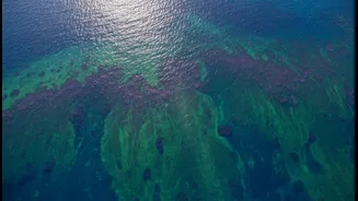
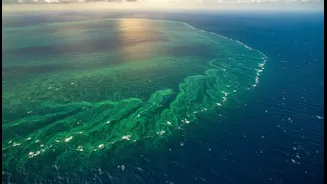
They go by the name of harmful algal blooms, or HABs, but their impact is far from harmless. These are not just any algae; they are rapid growths of microscopic organisms that can produce potent toxins. When these blooms explode in population, they can turn
vast stretches of coastal water into a toxic soup. The consequences are severe. Fisheries are shut down as shellfish and fish become contaminated and unsafe to eat. Tourism-dependent communities suffer as beaches are closed, and the foul smell and appearance of the blooms drive visitors away. For humans, exposure can lead to respiratory problems, and consuming contaminated seafood can cause serious illnesses like paralytic shellfish poisoning. Beyond the economic and health costs, which can run into tens of millions of dollars from a single event, these blooms wreak havoc on marine ecosystems, creating dead zones by depleting oxygen and killing marine life.
An Eye in the Sky That Sees in Hyperspectral
Monitoring these widespread and fast-moving blooms from boats is a slow, resource-intensive process. This is where NASA's orbital technology creates a paradigm shift. The key is an advanced device called a spectrometer. Think of it as a camera that can see light in far more colours than the human eye. While we see a rainbow, NASA's new Ocean Color Instrument (OCI) aboard the PACE satellite sees the world in hundreds of finely-tuned wavelengths, from the ultraviolet to the infrared. This capability is called 'hyperspectral' imaging, and it's a game-changer. The colour of the ocean is determined by what's in it, and different types of algae absorb and reflect sunlight in their own unique ways, creating distinct light 'fingerprints'.
From Light Signatures to Bloom Maps
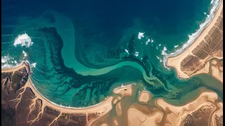
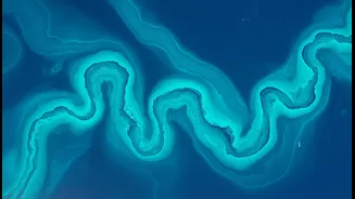
For the first time, this hyperspectral data allows scientists to not only detect a bloom but also to identify the specific community of phytoplankton that's causing it—all from space. This is a critical breakthrough because not all algae are toxic. By analyzing the specific light signature reflecting off the water, the OCI can help distinguish a harmless bloom from a dangerous one, like the toxin-producing Karenia brevis. The satellite scans the entire globe every one to two days, providing a constant stream of data. This information is then processed, often with the help of artificial intelligence, to create detailed maps showing the location, size, and even the type of algae present in the water.
Predicting Danger Before It Arrives
This is where mapping becomes prediction. Having a single snapshot of a bloom is useful, but tracking its movement over consecutive days is revolutionary. By comparing daily images, scientists can calculate the bloom's expansion rate—how fast it's growing and in which direction it's moving. This data is fed into forecast models, similar to how meteorologists predict the path of a storm. These models allow authorities to get ahead of the threat. They can issue timely warnings to public health officials, fishery managers, and coastal communities. This could mean preemptively closing a specific beach before toxin levels become dangerous or advising fishermen to avoid certain areas, saving time,.`resources, and potentially lives. It transforms HAB management from a reactive cleanup effort into a proactive safety measure.