





Echoes of a Sunken Port
For centuries, Tamil Sangam literature has spoken of mighty port cities like Poompuhar, also known as Kaveripoompattinam, that were swallowed by the ocean. Once dismissed by some as mere legend, these stories are now finding remarkable support from science.
Recent underwater surveys, particularly off the coast of Poompuhar in Mayiladuthurai district, have become a focal point for discovery. The Tamil Nadu State Department of Archaeology (TNSDA), in collaboration with institutions like the National Institute of Ocean Technology (NIOT), has launched explorations to investigate these submerged landscapes. The goal is to verify and map potential man-made structures that could confirm the existence and scale of these ancient settlements.
The Technology That 'Sees' with Sound
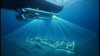
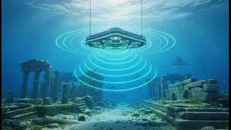
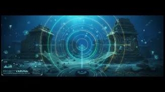
The key to this underwater exploration is SONAR, which stands for Sound Navigation and Ranging. The basic principle involves sending a pulse of sound into the water from a vessel and listening for the echo that bounces back from the seafloor. By measuring the time it takes for this echo to return, scientists can calculate the depth of the ocean floor with incredible precision. But modern marine archaeology goes far beyond just measuring depth. Researchers employ sophisticated sonar systems that can create detailed images and three-dimensional maps of what lies beneath, effectively peeling back the water to see the seabed.
Side-Scan and Multibeam Sonar
Two of the most crucial tools for this work are side-scan sonar and multibeam sonar. Side-scan sonar is excellent for creating a detailed picture of the seafloor. A device, often housed in a torpedo-shaped 'towfish' pulled behind a ship, emits fan-shaped sound beams to either side. It records the intensity of the returning echoes, known as backscatter. Hard surfaces like rock or brick reflect more sound and appear darker, while soft sediment like sand reflects less and appears lighter. This allows archaeologists to spot unnatural shapes and textures. Multibeam sonar, on the other hand, uses a fan of hundreds of narrow beams to generate a high-resolution, 3D topographical map of the seabed, revealing the precise shape and height of any features. Together, these technologies can identify potential walls, foundations, and other structural anomalies.
Interpreting the Digital Ghosts
Collecting sonar data is only the first step. The real challenge lies in interpreting it. Archaeologists and hydrographers analyse the vast amounts of data to distinguish man-made structures from natural geological formations. They look for tell-tale signs of human activity, such as straight lines, right angles, and gridded patterns, which are highly unlikely to occur in nature. For example, surveys off Poompuhar have revealed features that have been interpreted as potential wharves, breakwaters, and even large buildings. The 'shadows' cast by objects on the seafloor in side-scan sonar images can also help determine their size and shape. Once a promising anomaly is identified, it becomes a target for the next phase of investigation.
The Next Wave of Discovery
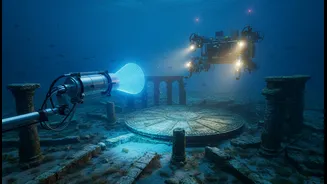
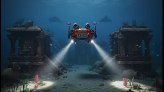
Sonar mapping provides the crucial first look, but it cannot definitively confirm the nature of these submerged sites. The next steps involve more direct methods. This includes deploying Remotely Operated Vehicles (ROVs) equipped with cameras to get a visual confirmation of the sonar targets. Following that, teams of trained divers are sent down to physically inspect the sites, take measurements, and collect samples like brick, pottery, or other artefacts. These physical samples are essential for dating the sites and understanding their cultural context. The data gathered during recent surveys off the Tamil Nadu coast is currently being analysed, with further exploration phases planned to build on these exciting initial findings.