





A Friend to Every Farmer
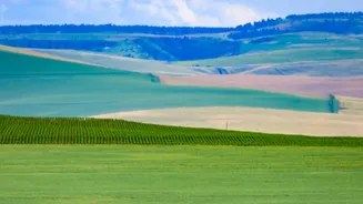
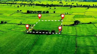
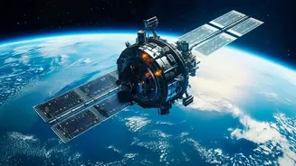
For millions of Indian farmers, space technology is a powerful ally. Satellites from the Indian Space Research Organisation (ISRO) provide a wealth of real-time data that is revolutionising agriculture. Through programs like Forecasting Agricultural output
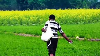
using Space, Agrometeorology and Land-based observations (FASAL), farmers get crucial insights into crop health, soil moisture, and weather patterns. This allows for what is known as precision agriculture—using water, fertilisers, and pesticides exactly where and when they are needed. This not only optimises resource use and reduces input costs but also boosts crop yields. For instance, satellite advisories have been shown to improve soybean and cotton crop productivity by 2 to 5 percent while cutting costs by 5 to 10 percent in some regions. Furthermore, satellites like RISAT-1 are particularly useful for monitoring monsoon-dependent crops such as paddy and jute, thanks to their all-weather imaging capabilities.
Predicting Nature’s Fury
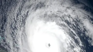
India's diverse geography makes it vulnerable to a range of natural disasters, including cyclones, floods, and droughts. Satellite data is a cornerstone of the country's disaster management strategy. Meteorological satellites like the INSAT series (INSAT-3D and INSAT-3DR) provide continuous updates on atmospheric conditions, enabling the India Meteorological Department (IMD) to track cyclones with a lead time of three to five days. This advance warning is critical for evacuating vulnerable coastal populations and has been credited with saving countless lives. During floods, satellite imagery helps create near real-time inundation maps, which guide rescue and relief operations by identifying the most affected areas. For slower-onset disasters like droughts, the National Agricultural Drought Assessment and Monitoring System (NADAMS) uses satellite data to provide early warnings, allowing authorities to implement mitigation measures.
Building Smarter Cities
With India projected to add over 400 million urban residents by 2050, managing rapid urbanisation is a monumental task. Satellite imagery provides a reliable way for urban planners to monitor the growth of cities in near real-time. By comparing images captured over time, planners can track urban sprawl, identify illegal construction, and monitor the loss of green spaces. This data is invaluable for creating and updating master plans, ensuring that infrastructure development like water supply, drainage, and transportation networks keeps pace with expansion. Satellites such as the Cartosat series provide high-resolution images that help in detailed mapping for urban planning under missions like the Smart Cities Mission. This evidence-based approach helps create more sustainable, resilient, and efficiently managed urban environments for millions.
Managing Precious Resources
Satellites also play a crucial role in monitoring and managing India's natural resources. Earth observation satellites help in creating detailed land use and land cover maps, which are used to track deforestation, manage water bodies, and monitor wastelands. For instance, data from satellites is used to monitor the health of vital ecosystems like the Himalayan region and the Western Ghats. It also aids in managing water resources by providing timely information on water spread in reservoirs and snow cover in the mountains, which is vital for hydrological modeling. Fishermen also benefit, as data from satellites like the Oceansat series helps identify Potential Fishing Zones, guiding them to areas with a higher likelihood of a good catch and improving their livelihoods.