




Decoding Remote Sensing
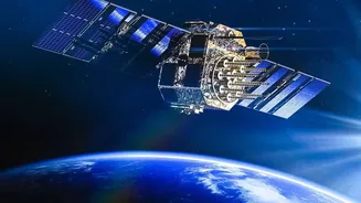
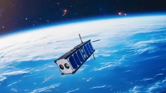
At its core, remote sensing is the science of getting information about a place without physically being there. Think of it as Earth’s ultimate check-up, conducted from space. Satellites equipped with special sensors capture data by detecting energy reflected
from the Earth's surface. This is similar to how a camera captures light to make a photo, but far more advanced. These sensors can 'see' across different wavelengths, revealing details invisible to the naked eye. This technology is the backbone of everything from weather forecasting and urban planning to monitoring deforestation in the Amazon and managing natural resources. It allows scientists and policymakers to observe large-scale changes and make informed decisions.
The Superpower of SAR
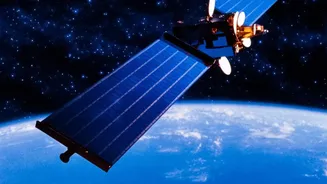
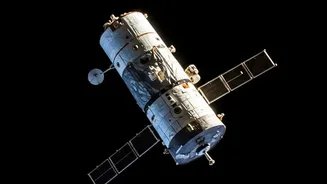
Synthetic Aperture Radar, or SAR, is a special type of active remote sensing. Unlike passive sensors that just 'listen' for reflected sunlight, an active SAR instrument sends its own pulse of microwave energy to the ground and then records the echo that bounces back. This gives it a significant advantage: SAR can see through clouds, fog, and darkness, providing high-resolution images regardless of weather or time of day. The 'synthetic aperture' part is a clever trick; by using the motion of the satellite, a small antenna can digitally simulate a much larger one, achieving incredibly fine detail that would otherwise be impossible from a moving platform. This capability is a game-changer for applications requiring constant monitoring, such as tracking oil spills, detecting illegal mining, or mapping land subsidence.
From Theory to National Impact
These technologies aren't just academically interesting; they are vital for India's development and security. Remote sensing data is used by agencies like the National Disaster Management Authority for real-time flood mapping and landslide risk assessment. In agriculture, it helps in monitoring crop health, estimating yields, and managing water resources more efficiently. The upcoming NASA-ISRO Synthetic Aperture Radar (NISAR) mission is set to revolutionize this field. By providing frequent, detailed data on a global scale, NISAR will enhance our ability to study climate change impacts, ecosystem disturbances, and geological processes like never before, creating a huge demand for skilled analysts.
Your Learning Pathway with ISRO
For students aspiring to enter this domain, the primary destination is the Indian Institute of Remote Sensing (IIRS) in Dehradun, a constituent unit of ISRO. Established in 1966, IIRS is a premier institute for education and training in geospatial technologies. It offers a range of courses, from short-term certificate programs to comprehensive M.Tech and P.G. Diploma degrees in Remote Sensing and GIS. These programs are designed to provide in-depth knowledge and hands-on training, covering the full spectrum from data acquisition and processing to application-specific analysis. IIRS also frequently conducts free online courses and workshops, making this knowledge accessible to a wider audience.
Eligibility and How to Apply
Admission requirements for IIRS vary by course. For flagship postgraduate programs like the M.Tech or P.G. Diploma, candidates typically need a bachelor's degree in engineering (like Civil or Computer Science) or a Master's degree in a relevant science field (such as Physics, Geology, or Geography). A strong foundation in science and mathematics at the 10+2 level is often a prerequisite. Admission to M.Tech and P.G. Diploma courses is generally based on an entrance exam conducted by IIRS, which may be followed by an interview. For shorter certificate courses, applications can often be made directly through the IIRS website. Prospective students should always check the official IIRS admissions portal for the latest course announcements, eligibility details, and application deadlines.
Launching Your Career
A qualification in remote sensing and GIS from a reputed institute like IIRS opens up a wide array of career opportunities. The government sector is a major employer, with roles in organisations like ISRO, the National Remote Sensing Centre (NRSC), Forest Survey of India, and the Survey of India. Beyond government, the private sector is booming. Companies in infrastructure, urban planning, agriculture technology, and environmental consulting are increasingly reliant on geospatial data. Job profiles include GIS Analyst, Remote Sensing Scientist, Geospatial Developer, and Environmental Modeler. With India's space economy projected to grow significantly, the demand for professionals who can interpret satellite data and provide actionable insights is only set to increase.