








An Unseen Threat Beneath Our Feet
Every year, especially during the monsoon season, landslides pose a grave danger across India. From the steep slopes of the Himalayas in states like Uttarakhand and Himachal Pradesh to the Western Ghats, entire hillsides can give way with little to no
warning. These events not only claim lives but also destroy homes, sever critical road links, and cause immense economic damage. For decades, the primary challenge has been to spot the danger before it is too late. While ground-based sensors and rainfall-based warning systems are valuable, they often have limitations in geographic scale. The sheer vastness and difficult terrain of these vulnerable regions make comprehensive, on-the-ground monitoring a monumental task.
A Groundbreaking Eye in the Sky
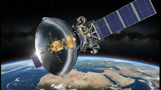
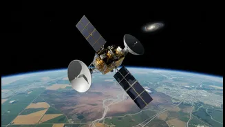
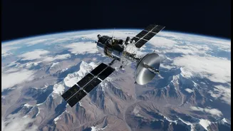
Enter NISAR (NASA-ISRO Synthetic Aperture Radar), a revolutionary Earth-observing satellite. Launched in July 2025, this mission is a testament to the growing space partnership between the United States and India. What makes NISAR a game-changer is its unique dual-frequency radar system. It carries both an L-band radar, built by NASA, and an S-band radar, built by ISRO. This allows it to scan nearly all of Earth's land and ice surfaces every 12 days, day or night, and in any weather condition, seeing through clouds and even dense forest canopies. It is the first satellite mission to use two radar frequencies to measure changes on our planet’s surface with such precision.
How NISAR Spots a Landslide in the Making
NISAR’s superpower is a technique called Interferometric Synthetic Aperture Radar, or InSAR. By comparing high-resolution images of the same location taken on its repeated 12-day passes, the satellite can detect tiny changes in the ground surface. It is capable of spotting movements as small as a centimetre, or about 4 millimetres per year over time, from its orbit 747 kilometres above Earth. Many catastrophic landslides are not sudden events. They are often preceded by very slow, almost imperceptible ground deformation as the soil or rock becomes unstable. NISAR is designed to detect precisely this kind of subtle movement across vast areas, creating detailed maps of ground deformation that can highlight high-risk slopes long before they fail.
A New Era for Disaster Management in India
For India, NISAR’s capabilities are of immense national importance. The data, which is freely and openly available, will empower disaster management agencies with a proactive tool for risk assessment. By identifying areas showing signs of instability, authorities can prioritise further investigation, implement mitigation measures, and plan more effective evacuation strategies. This is a significant leap from purely rainfall-based predictions. In fact, ground-based early warning systems, like the one recently developed by IIT Mandi for the Himalayan region, are already looking to integrate satellite data from missions like NISAR to improve accuracy. The information will also be crucial for safer infrastructure planning, helping to guide where new roads, dams, and settlements can be built.
More Than Just Landslides
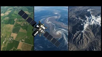
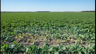
While its potential for landslide monitoring is a major application for India, NISAR’s mission is far broader. ISRO will use its data to monitor a wide range of national interests, including the health of glaciers in the Himalayas, agricultural monitoring, tracking soil moisture, and studying coastal changes. The satellite will provide a comprehensive and dynamic picture of the entire Indian subcontinent's land and water resources. It will track changes in ecosystems, monitor the flow of ice sheets, and even help understand the dynamics of earthquakes and volcanoes, making it one of the most versatile Earth science missions ever launched.