


India's Eyes in the Sky
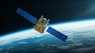
The foundation of this effort is ISRO's formidable fleet of Earth observation satellites. For years, constellations like INSAT, Resourcesat, and Oceansat have been India's sentinels, silently gathering a colossal amount of data. They track everything
from cyclone formation over the Bay of Bengal to the worrying retreat of Himalayan glaciers. These satellites measure rainfall patterns, sea surface temperatures, forest cover, and land erosion, providing the raw information needed to understand a warming planet. Essentially, they create a continuous, high-definition health check-up of the entire Indian subcontinent, capturing changes that are often too slow or too vast to be seen from the ground. This constant stream of data is the lifeblood of modern climate science.
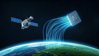
The AI Brain Processing the Data
Having vast amounts of data is one thing; making sense of it is another. The sheer volume of information sent back by satellites is too much for human analysts to process effectively. This is where Artificial Intelligence (AI) and Machine Learning (ML) come in. ISRO is increasingly using sophisticated AI algorithms to sift through petabytes of satellite imagery and sensor readings. These AI models can detect patterns, predict changes, and flag anomalies far faster and more accurately than ever before. For example, AI can analyze satellite images to provide near real-time alerts on deforestation, illegal mining, or the expansion of glacial lakes that pose a flood risk. It acts as the intelligent brain that transforms raw data into crucial insights.
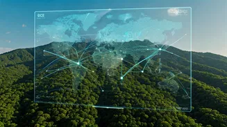
From Data to Real-World Decisions
The ultimate goal is to use these insights to make better decisions on the ground and save lives. The combination of satellite monitoring and AI analysis is already having a significant impact. Improved cyclone forecasting, aided by AI models, has helped reduce storm-related fatalities by over 90% since the 1990s. In agriculture, projects like Krishi-DSS leverage satellite data to provide farmers with real-time advice on crop health, soil moisture, and pest outbreaks, enhancing food security. Water resource management is also being revolutionised, with AI helping to monitor reservoirs, predict droughts, and plan for efficient water usage. From urban planning to disaster management, this technological fusion is helping authorities move from a reactive to a proactive stance on climate challenges.
Future Missions and Global Collaboration
ISRO is not standing still. The organisation plans to launch dozens of new, more intelligent satellites with enhanced AI capabilities built-in. These next-generation satellites will be able to process data on board and even communicate with each other to provide more refined intelligence. A prime example of this forward-looking approach is the NISAR (NASA-ISRO Synthetic Aperture Radar) satellite, a joint mission with NASA. Set to be one of the most sophisticated radar satellites ever flown, NISAR will scan nearly the entire planet every 12 days, providing unprecedented detail on changes in ecosystems, ice sheets, and the Earth's crust. This collaboration highlights the global nature of the climate crisis and the importance of international partnership in space science.