


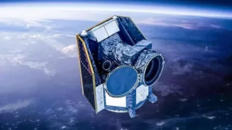
Our Watchful Guardians in Orbit
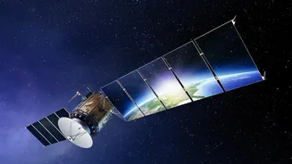
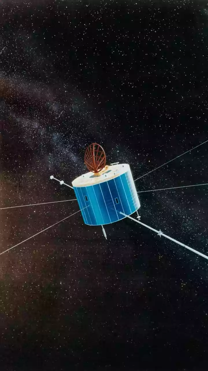
So, how does it work? This technology is called remote sensing. Satellites are equipped with advanced sensors that continuously scan the Earth’s surface, oceans, and atmosphere. Some sensors are 'passive,' capturing natural radiation reflected or emitted
by the Earth, much like a digital camera. Others are 'active,' sending out their own signals (like radar or lidar) and measuring what bounces back. This allows them to see through clouds and even work at night. By analysing this data over days, months, and years, scientists can detect subtle and dramatic changes that would be impossible to monitor from the ground, especially in remote or inaccessible areas.
Tracking Our Disappearing Forests
One of the most critical applications of satellite data is in monitoring deforestation. By comparing images of the same forest taken at different times, analysts can pinpoint exactly where and when tree cover is lost. This is vital for combating illegal logging, especially in vast, dense regions like the Amazon or parts of Southeast Asia. Radar satellites are particularly useful in tropical areas where persistent cloud cover can hide deforestation from standard optical satellites. This data provides undeniable proof of forest loss, helping governments enforce regulations and allowing researchers to accurately calculate carbon emissions resulting from deforestation.
Making Invisible Pollution Visible
Much of the damage to our environment is invisible to the naked eye, but not to satellites. Specialised sensors can measure the concentration of harmful pollutants in the atmosphere, such as nitrogen dioxide (NO2) from traffic and industrial activity, and fine particulate matter (PM2.5) that poses serious health risks. This provides a comprehensive map of air quality over entire cities and regions, identifying pollution hotspots that ground-based monitors might miss. Similarly, satellites can monitor water quality by detecting changes in colour that may indicate sediment runoff, chemical spills, or harmful algal blooms in lakes and oceans, safeguarding both aquatic ecosystems and human health.
On the Front Lines of Climate Change
Satellites provide some of the most compelling evidence of our changing climate. For decades, they have been creating a continuous, objective record of key indicators. In India, this is crucial for monitoring the health of Himalayan glaciers, whose meltwater is a lifeline for millions. Satellites can measure the shrinking extent of ice and snowpack over time, providing vital data for water resource management. They also precisely track global sea-level rise, helping coastal communities prepare for future challenges. This long-term, global perspective is something no other monitoring system can provide, making satellite data indispensable for climate science and adaptation strategies.
Planning India's Future Cities
India is experiencing rapid urbanisation, with cities expanding at a staggering pace. Manual surveys struggle to keep up, but satellites can track this growth in near real-time. By analysing multi-temporal imagery, urban planners can see exactly where new construction, roads, and slums are emerging. This helps municipalities manage urban sprawl, plan for essential services like water and electricity, and protect green spaces from encroachment. For a country projected to add hundreds of millions more urban residents by 2050, this satellite-driven insight is essential for building sustainable and liveable cities.
India's Leadership in Earth Observation
India, through the Indian Space Research Organisation (ISRO), is a global leader in this field. The country operates one of the largest constellations of remote sensing satellites in the world. Missions like the Cartosat series provide high-resolution images for urban planning and infrastructure monitoring, while the Resourcesat and Oceansat series are vital for managing agriculture and marine resources. ISRO's INSAT satellites are crucial for weather forecasting and tracking cyclones, forming the backbone of the nation's disaster management system. Furthermore, the upcoming NASA-ISRO Synthetic Aperture Radar (NISAR) mission, set to launch in 2025, will be the first satellite to carry two different radar frequencies, enhancing our ability to monitor everything from earthquakes and landslides to ice-sheet collapse.