








An Eye That Never Sleeps
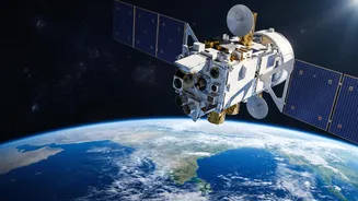
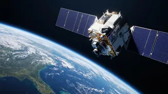
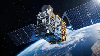
On September 4, 2026, ISRO successfully launched its advanced Earth Observation Satellite, EOS-05, into a geosynchronous orbit. Unlike previous satellites that orbit closer to Earth and pass over a location only periodically, EOS-05 is positioned approximately
36,000 kilometres above the surface. This unique high-altitude orbit allows it to hover over the Indian subcontinent, providing continuous, near real-time monitoring of the entire landmass. Described as India's first imaging satellite in this type of orbit, it can revisit a specific area of interest as frequently as every five minutes. This constant watch is a game-changer, transforming disaster management from a reactive process into a proactive one.
Seeing Beyond the Obvious
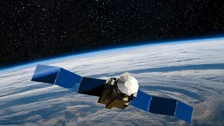
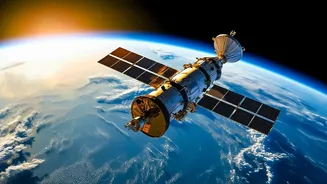
The power of India's satellite fleet lies in its diverse and sophisticated sensors. For instance, satellites like EOS-04, a Radar Imaging Satellite, can pierce through dense cloud cover and darkness, which is critical during monsoons and cyclones when visibility is poor. Other satellites in the EOS series, such as EOS-06 (Oceansat-3), are equipped with instruments to measure ocean wind patterns, sea surface temperature, and ocean colour. These data points are crucial for the early detection and tracking of cyclonic formations. Together, this multi-sensor approach provides a comprehensive picture, from tracking a cyclone's path to mapping the extent of floodwaters and identifying forest fire hotspots.
From Cyclone Warning to Flood Rescue
The application of this technology spans the entire lifecycle of a disaster. Before a cyclone makes landfall, satellites like INSAT-3DR and EOS-06 monitor its intensity and track, providing crucial lead time for evacuations. During a flood, radar imaging satellites can map the inundated areas in near real-time, even through heavy rain, guiding rescue teams from the National Disaster Response Force (NDRF) to where they are needed most. In the aftermath of a landslide or earthquake, high-resolution images help in carrying out rapid damage assessment of infrastructure and directing relief efforts. This capability allows authorities to respond faster and more effectively, saving lives and resources.
The Crucial Link: From Data to Action
Capturing images from space is only the first step. The true value is unlocked when this data is quickly translated into actionable intelligence. ISRO's Disaster Management Support Centre (DMS-DSC) at the National Remote Sensing Centre (NRSC) is the nerve centre for this operation. It processes the satellite data and disseminates vital information—like flood inundation maps or landslide warnings—to various agencies, including the National Disaster Management Authority (NDMA), Ministry of Home Affairs, and state-level bodies. This information is shared through dedicated portals like Bhuvan and the National Database for Emergency Management (NDEM), ensuring that decision-makers on the ground have the most current information at their fingertips.
Building a More Resilient India
ISRO's Earth Observation program is a cornerstone of India's strategy to build national resilience against natural disasters. These satellites enhance the country's self-reliance in space technology and strengthen its capacity for disaster risk reduction. The data gathered is not only used for emergency response but also for long-term planning, such as creating hazard zonation maps and developing more robust infrastructure. Furthermore, by providing timely satellite data to neighbouring countries during crises through international charters, India reinforces its role as a responsible leader in the region. Each satellite launched adds another layer of security, helping to protect vulnerable communities and build a safer future.