






While most of India welcomes crisp, dry post-monsoon air, the season’s farewell isn’t uniform. For several regions, particularly in the south and east, the skies remain active, proving that the monsoon’s exit is a staggered, complex affair.
The Great Monsoon Retreat
The official
southwest monsoon season in India runs from June to September. Its withdrawal is a gradual process that typically begins in mid-September from the northwestern parts of the country and moves southeastwards over several weeks. The India Meteorological Department (IMD) declares the withdrawal based on specific criteria, including a sustained reduction in rainfall and changes in wind patterns. By early October 2026, the monsoon had officially withdrawn from most of north and central India, including cities like Mumbai, where the retreat was noted on October 3. This withdrawal process, however, does not mean an abrupt end to rainfall for the entire country at once.
Where the Rains Are Lingering
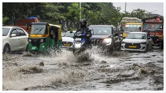
As of early October 2026, the party is very much still on for rain clouds in several parts of southern and eastern India. The IMD has forecast fairly widespread rainfall for Kerala and Mahe through the first week of October, with isolated heavy spells. South Interior Karnataka is also on the list for continued wet weather. Concurrently, eastern and northeastern states, including Odisha, Bihar, Jharkhand, and Arunachal Pradesh, are also expected to see scattered rain and thunderstorms. While the rest of the country, including the capital Delhi, is experiencing drier conditions, these pockets of precipitation highlight the uneven nature of the monsoon's departure.
The Science of a Staggered Exit
So, why isn't it a clean break? The lingering rain is not necessarily an extension of the primary southwest monsoon. Instead, it's often caused by other weather phenomena that become active during this transitional period. These include localised weather systems and cyclonic circulations that form over the Bay of Bengal or the Arabian Sea. For instance, the IMD has noted the likelihood of a low-pressure area forming over the Andaman Sea around mid-October, which could influence weather patterns in the south. Furthermore, this period marks the transition to the Northeast Monsoon, a separate weather system that is the primary source of rainfall for states like Tamil Nadu, which receives nearly half its annual rainfall between October and December.
Impact on Land and Life
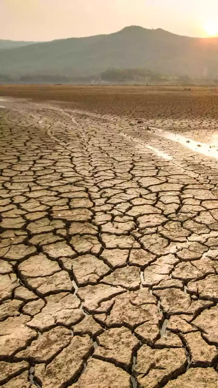
This extended wet spell has significant implications. For farmers in the south, the expected normal to above-normal rainfall during the post-monsoon season is critical, especially after a generally deficient southwest monsoon season for the peninsula. The Northeast Monsoon is vital for the Rabi crop season in this region. However, unexpected heavy rainfall can also lead to challenges like waterlogging in urban areas and disruptions to travel and infrastructure. In contrast, North India is dealing with the consequences of a deficient monsoon, with major reservoirs in Himachal Pradesh and Punjab reporting below-normal water storage levels as the monsoon officially ended there.
What the Forecast Holds
Looking ahead, the IMD has forecast that rainfall across the country as a whole for October is likely to be below normal. This is influenced by a strengthening El Niño, a large-scale climate pattern that typically suppresses monsoon rainfall in India. However, there are important regional exceptions. While most of the country is expected to be drier, parts of northwest India and the southern peninsula are forecast to receive normal to above-normal rainfall between October and December. The onset of the Northeast Monsoon over the southern peninsula is anticipated around the middle of October, which will be a key event to watch for the region's rainfall patterns.