
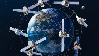
The View From Above
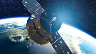
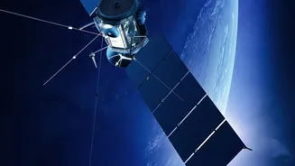
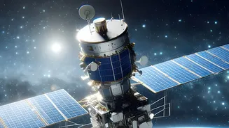
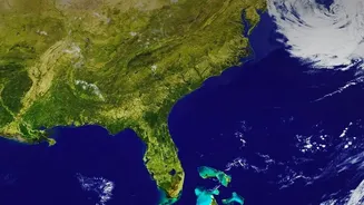
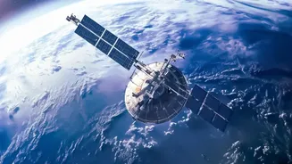
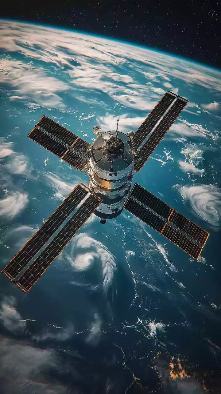
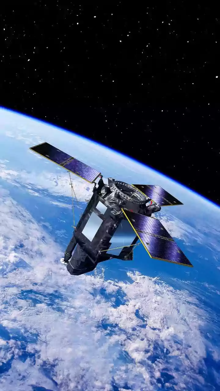
Satellites provide an invaluable perspective, offering a wide-area view of a flood as it unfolds. There are two main types of satellite sensors used. Optical sensors work like a camera, capturing images in visible light. They provide clear, easy-to-interpret
pictures of inundated areas, but they have a significant drawback: they cannot see through clouds, which often cover a region during a storm. This is where Synthetic Aperture Radar (SAR) satellites come in. SAR is an active sensor that sends out microwave pulses and reads the echoes that bounce back. This technology can 'see' through clouds and works at night, making it an essential all-weather tool for monitoring floods in near real-time.
The Reality on the Ground
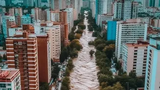
While satellites provide the big picture, ground observations deliver crucial, high-precision details. These 'in-situ' measurements come from various sources. Traditional river gauges measure water levels at specific points along a river, providing continuous data that is vital for forecasting. Weather stations contribute rainfall data, which helps hydrologists model how much water is entering a river system. In the aftermath, survey teams can identify and measure high-water marks left on buildings and trees, providing an exact record of a flood's peak height in a specific location. Increasingly, even citizen science—photos and reports from the public via social media—can offer valuable, localized information about flood extent and impact.
Better Together: The Power of Fusion
Neither data source is perfect on its own. Satellite images can have resolution limitations or be misinterpreted; for example, a wet field might look similar to a shallow flood. Ground sensors, on the other hand, are highly accurate but provide data for only a single point, and they can be damaged or destroyed by the very flood they are meant to measure. The true strength comes from combining them through a process called 'data fusion'. Scientists use ground data to calibrate and validate the information they get from satellites. For instance, a measurement from a river gauge can be used to confirm the water depth inferred from satellite imagery, making the entire flood map more reliable.
Creating the Final Picture
The fusion of these data streams happens within sophisticated computer models. Hydrological models use ground data like rainfall and soil moisture to calculate how much water will flow into rivers. Hydraulic models then simulate how this water will move through the landscape, predicting its depth, speed, and extent. By feeding satellite observations of the actual flooded area into these models, scientists can correct and refine the predictions in real-time. The result is a highly accurate flood inundation map that shows not only where the water is, but also how deep it is, providing a comprehensive tool for emergency responders.
Application in India
In India, a country frequently affected by severe monsoonal flooding, this integrated approach is vital. The Indian Space Research Organisation (ISRO) plays a key role, using its satellites to generate near real-time flood maps. These maps, often created using both optical and SAR data, are shared with agencies like the National Disaster Management Authority (NDMA) and state-level bodies. For instance, during the monsoon season in Assam, ISRO provides dozens of inundation maps to help authorities plan rescue operations and assess damage. ISRO’s Bhuvan portal also makes historical and near real-time flood data available, supporting both immediate disaster response and long-term planning to build resilience against future events.