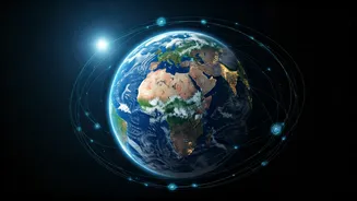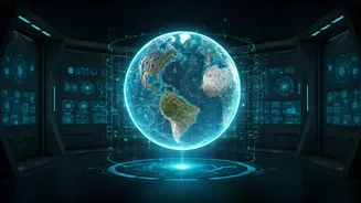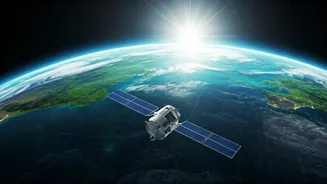


The Big Picture from 400 Kilometres Up
For decades, space technology felt distant, belonging to the realm of astronauts and astrophysicists. Today, it's a critical utility. Satellites orbiting Earth are equipped with advanced sensors that can see beyond the visible spectrum. They use radar
to measure ground moisture through clouds, infrared to assess plant health, and spectrometers to identify pollutants in the air and water. This constant stream of data provides a dynamic, planet-wide health report. Organisations like NASA, the European Space Agency (ESA), and our own Indian Space Research Organisation (ISRO) make much of this data available to scientists, governments, and even private companies. This democratisation of data is the engine driving a revolution in environmental management, turning abstract information into actionable insights.
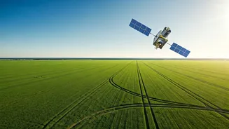
Smarter Farming for a Growing Nation
In India, where agriculture is the backbone of the economy, the impact is profound. Precision agriculture, powered by satellite imagery, is helping farmers move away from guesswork. By analysing satellite data, agritech companies can advise farmers on exactly which parts of their fields need more water or fertiliser. This prevents waste, reduces the runoff of chemicals into rivers, and boosts crop yields. ISRO’s satellites, like the RISAT series, provide all-weather surveillance that is crucial during the monsoon season. This data helps in forecasting crop production, assessing drought conditions, and even settling insurance claims more efficiently. It means a farmer in Maharashtra can make a data-driven decision that saves money, conserves water, and ultimately puts more food on the table.
Managing Our Most Precious Resource: Water
Water scarcity is one of India's most pressing challenges. Space technology offers a powerful toolkit for managing it. Satellites can monitor the water levels in thousands of reservoirs and lakes simultaneously, giving authorities a real-time view of the country’s water storage. They can track snowmelt in the Himalayas, which is vital for predicting water flow into the northern rivers. Furthermore, specialised satellites can even estimate groundwater levels, helping to identify regions where aquifers are being depleted at an unsustainable rate. This information is crucial for planning infrastructure like dams and canals, promoting rainwater harvesting, and issuing early warnings for both floods and droughts, allowing communities to prepare and mitigate damage.
Tracking Pollution from the Source
Urban air quality is a major concern for millions. While ground-based sensors provide local readings, satellites offer a comprehensive overview. They can track the movement of pollutants like nitrogen dioxide and particulate matter across entire regions, identifying hotspots and major sources like industrial zones or areas prone to crop burning. For example, ESA’s Sentinel-5P satellite provides daily global maps of air pollutants, allowing scientists and policymakers to see the bigger picture of how pollution travels. This data is invaluable for formulating effective policies, enforcing environmental regulations, and assessing the impact of interventions like vehicle restrictions or industrial emission controls. The same applies to water, where satellites can detect illegal oil spills or harmful algal blooms before they become catastrophic.
Protecting Forests and Forecasting Disasters
Deforestation and natural disasters pose significant threats. High-resolution satellite imagery has become an essential weapon for forest departments to monitor and combat illegal logging in remote areas. By comparing images over time, authorities can quickly detect unauthorised clearing and dispatch patrols. Beyond forests, this technology is a cornerstone of modern disaster management. Before a cyclone makes landfall, satellite data on its path and intensity helps authorities evacuate the right areas at the right time. After an earthquake or flood, satellite imagery provides the first clear assessment of the damage, guiding rescue teams to the worst-hit locations and helping to plan relief efforts far more effectively than was possible just a generation ago.