





A Second Chance at a Crucial Goal
The story of EOS-05 is one of persistence. Its predecessor, a satellite known as GISAT-1 (also designated EOS-03), was lost during a launch failure in August 2021 due to an issue with the rocket's cryogenic stage. The loss was a significant setback for
the Indian Space Research Organisation (ISRO), which had spent years developing the nation's first Earth-imaging satellite for a geostationary orbit. Now, ISRO is ready for a second attempt with a replacement satellite, also named EOS-05 (or GISAT-1A), slated for launch in early September 2026. This mission is not just a routine launch; it's a high-stakes effort to finally secure a capability that experts consider a game-changer for the country.
The Geostationary Advantage
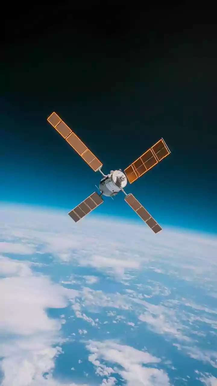
So, what makes this satellite so special? The answer lies in its orbit. Most Earth observation satellites circle the planet in a Low Earth Orbit (LEO), meaning they can only view a specific location for a few minutes as they pass overhead. EOS-05 is designed for a geostationary orbit, parking itself approximately 36,000 kilometres above the equator. At this altitude, its orbital speed matches the Earth's rotation, allowing it to remain seemingly fixed over the Indian subcontinent. This provides a persistent, near-continuous watch, like a celestial CCTV camera. This capability is expected to allow the satellite to image the entire country every half hour and focus on specific areas of interest every five minutes.
A Lifesaver During Natural Disasters
For a country frequently battered by cyclones, floods, and forest fires, the most immediate benefit of EOS-05's data lies in disaster management. Current satellites provide snapshots, but EOS-05 will offer a near-real-time video feed of unfolding events. Emergency response teams could track the precise path and intensity of a cyclone as it approaches the coast, monitor rising floodwaters in the Brahmaputra basin, or detect the outbreak of forest fires in remote Himalayan regions almost as they happen. This constant stream of information would allow for more timely evacuations, better resource allocation for rescue teams, and more accurate damage assessment, ultimately saving lives and property.
Transforming Indian Agriculture
Beyond emergencies, the satellite’s advanced imagers hold immense potential for India's agricultural backbone. Equipped with multispectral and hyperspectral sensors, EOS-05 can see far beyond what is visible to the human eye. These instruments can analyse the spectral signatures of crops to determine their health, detect stress from lack of water or nutrients, and even identify pest infestations before they spread. This data can empower a new era of precision farming, where farmers can apply fertilisers or pesticides exactly where needed, optimise irrigation, and get more accurate yield predictions. For millions of farmers, this could mean lower costs, higher yields, and greater food security for the nation.
An Unblinking Eye on National Security
The strategic implications of continuous observation are not lost on India's defence planners. While primarily a civilian satellite, the ability to maintain a constant watch over land borders and vast maritime territories provides a significant security advantage. The satellite can monitor changes along sensitive borders, track movements in the Indian Ocean, and provide high-resolution imagery of areas of interest without the delay associated with waiting for a satellite to pass overhead. This persistent surveillance capability enhances situational awareness and supports strategic planning and operations, adding a critical layer to the nation's security infrastructure.