







The View from Above is Changing Everything
The career landscape is experiencing a quiet but powerful shift, and it’s being driven from space. For decades, satellite data was the exclusive domain of space agencies and defence organisations. Today, a new generation of professionals is in high demand,
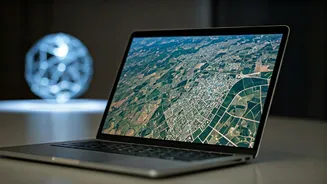
not for launching rockets, but for interpreting the torrent of data that satellites send back to Earth. This field, broadly known as geospatial analytics, involves using technologies like Geographic Information Systems (GIS) and remote sensing to analyse images and data from space. The Indian geospatial analytics market is booming, with forecasts projecting it to grow from USD 1.81 billion in 2026 to USD 3.55 billion by 2031. This rapid expansion is creating a wealth of opportunities far beyond traditional aerospace, turning satellite-data literacy into a coveted skill across the Indian economy.
A Revolution in Agriculture and Insurance
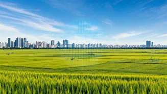
Perhaps nowhere is the impact of satellite data more profound than in India's agricultural sector. For a nation where farming employs a vast portion of the population, the ability to monitor crops from space is a game-changer. Using satellite imagery, companies and government agencies can track crop health, estimate yields, and monitor the effects of drought or floods with incredible precision. This has a direct impact on farmers, enabling everything from AI-assisted sowing advisories to better pest management. This data is also transforming the crop insurance industry. Under schemes like the Pradhan Mantri Fasal Bima Yojana (PMFBY), satellite data is being used to make claim settlements faster and more transparent, replacing slow, manual field surveys with objective, large-scale assessments. For insurers, this technology provides a reliable way to assess risk and verify claims, while for farmers, it means quicker payouts when disaster strikes.
Building Smarter Cities and Managing Risk
Beyond the fields, satellite data is becoming an indispensable tool for managing India’s rapidly growing urban centres. City planners use geospatial analytics to monitor infrastructure development, manage traffic flow, and ensure sustainable land use. The technology plays a crucial role in ambitious government initiatives like the Smart Cities Mission. Similarly, in disaster management, satellite imagery provides first responders with critical, near real-time information during events like floods or cyclones, helping to coordinate rescue efforts and assess damage. The insurance and risk management sector is projected to be one of the fastest-growing adopters of this technology, using it to assess damage to property and infrastructure after natural calamities.
The New Must-Have Professional Skill Set
As demand surges, a specific set of skills has become highly valuable. Proficiency in Geographic Information Systems (GIS) software is fundamental, allowing professionals to map and visualise data. This is complemented by remote sensing, the science of interpreting aerial and satellite imagery. Increasingly, employers are seeking candidates with strong data analysis skills, including knowledge of programming languages like Python and experience with AI and machine learning algorithms. These skills are needed to process the vast amounts of data and extract meaningful insights. Job titles like 'GIS Analyst', 'Remote Sensing Specialist', and 'Geospatial Data Analyst' are becoming common on hiring portals, appearing in sectors from automotive to finance. This trend reflects a broader shift where nearly two in three new roles at Global Capability Centres in India now require AI and data science skills.
India's Push Towards a Geospatial Economy
This boom is not happening in a vacuum. The Indian government and ISRO have been key enablers. Policies like the National Geospatial Policy 2022 have liberalised the sector, making it easier for private companies and startups to access and use satellite data. ISRO has actively encouraged private sector participation, viewing it as essential to growing India's share of the global space economy. The organisation is increasingly collaborating with private firms and startups, sharing data from its powerful Earth observation satellites and fostering an ecosystem of innovation. This national push, combined with the increasing availability of high-resolution satellite imagery from a growing number of Indian space startups, is creating a vibrant domestic market for geospatial services.