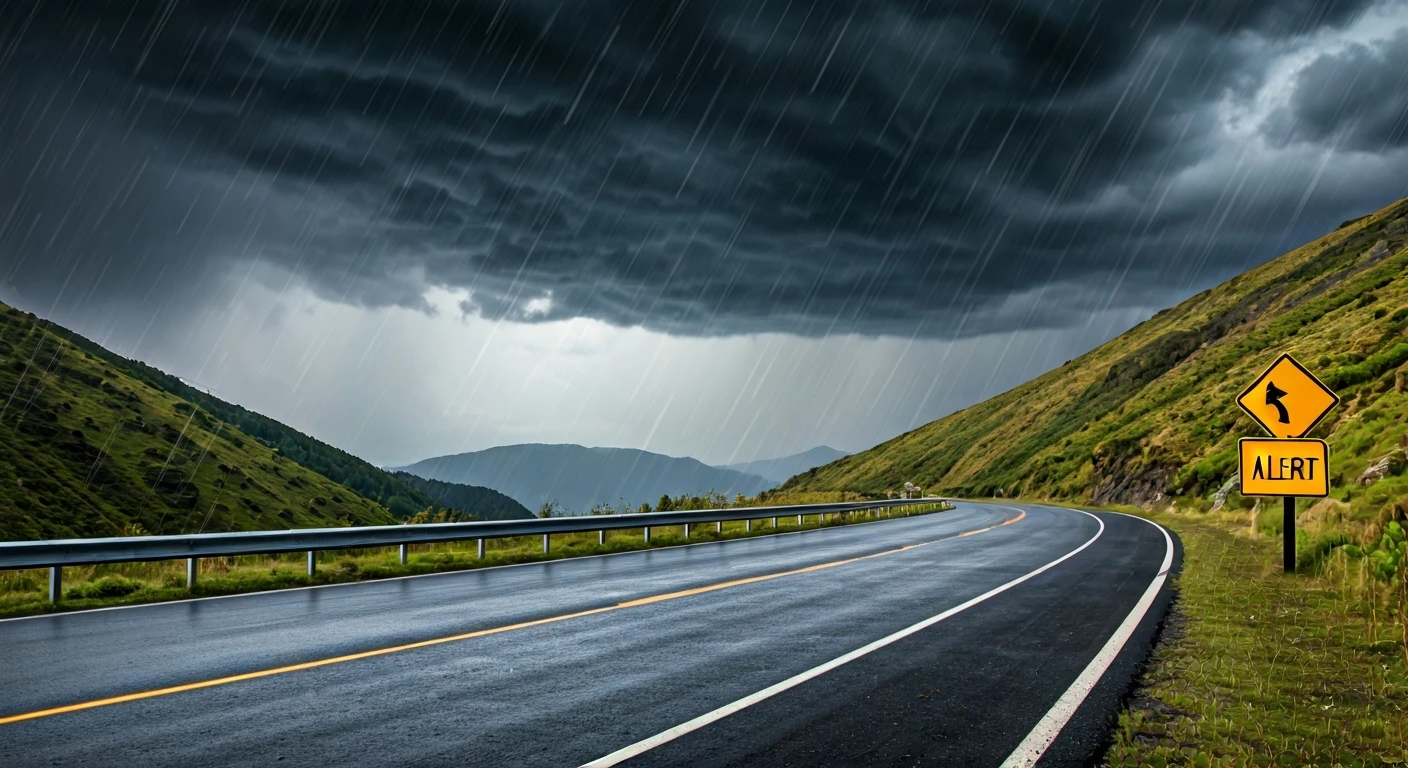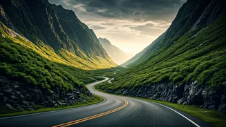
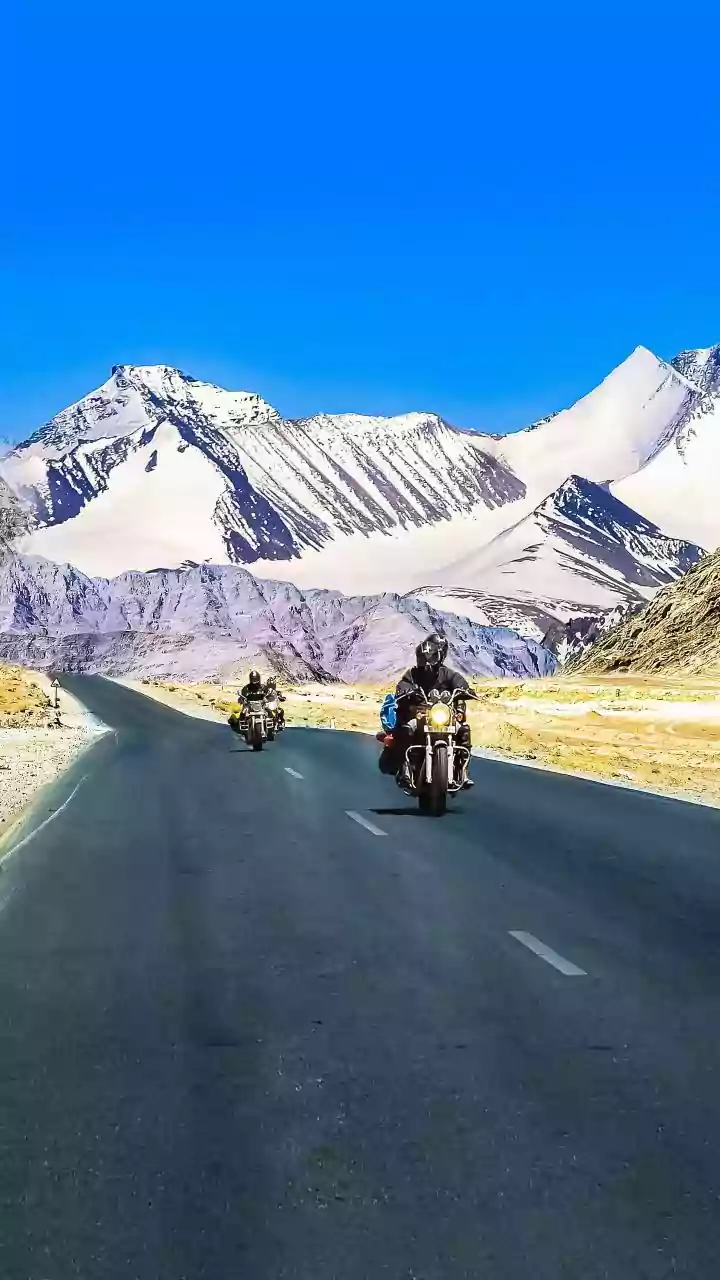


The Unpredictable Charm of Hill Roads
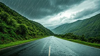
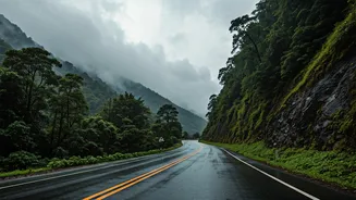
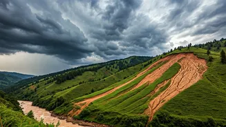
Driving in the Himalayas or the Western Ghats is an experience unlike any other. The breathtaking scenery is a huge part of the appeal, but the terrain comes with its own set of challenges. These roads are susceptible to sudden changes, especially during
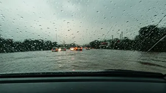
monsoon and winter seasons. Landslides, rockfalls, heavy traffic bottlenecks, and unexpected weather shifts can turn a dream drive into a long and frustrating ordeal. Much of India's highway network in hill states passes through terrain vulnerable to such events. A little bit of digital preparation before you start your engine can make all the difference, transforming potential travel chaos into a minor inconvenience you were already prepared for.
Your Official Government Toolkit
Several state governments and national authorities now offer digital tools to help travellers. The National Disaster Management Authority (NDMA) has an integrated alert system called SACHET, which disseminates early warnings for various hazards. For road-specific information, it's wise to check resources from your destination state. Uttarakhand, for example, has developed a 'Road Closure App' to provide government-verified, real-time status updates during the monsoon season. Similarly, Himachal Pradesh has community-driven platforms and official social media handles from traffic police that provide live updates on road conditions and closures. Before your trip, search for the official traffic police or tourism app for the specific state you're visiting.
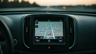
Popular Navigation Apps: Strengths and Weaknesses
Google Maps is often the default choice for navigation, and it's a powerful tool. It provides crisis alerts for events like floods and wildfires and incorporates information from traffic authorities in many cities to show disruptions. However, its information can be less reliable in remote areas. For crowdsourced, real-time updates on traffic jams, accidents, and police checks, Waze is a popular alternative. An excellent homegrown option is Mappls (formerly MapmyIndia). It offers advanced features tailored for Indian conditions, such as 3D junction views, alerts for speed limits and accident-prone zones, and has been praised for its detailed mapping of the Indian road network. Many users find a combination of these apps offers the most comprehensive coverage.
The Power of Social Media and Local Intel
Sometimes the most current information comes directly from the ground. Before and during your trip, make it a habit to follow the official X (formerly Twitter) and Facebook pages of the traffic police for the districts you'll be travelling through. These channels are often the first place where information about sudden roadblocks, accidents, or diversions is posted. You'll find real-time videos, photos, and advisories from officials. Additionally, engaging with online travel communities and forums dedicated to your destination can provide valuable insights from fellow travellers who have recently been on the same routes.
Your Pre-Trip Digital Checklist
To ensure you’re fully prepared, run through this quick checklist a few days before you leave: 1. Download the primary navigation apps you plan to use (e.g., Google Maps, Mappls) and download offline maps for your entire route. Network connectivity can be patchy in the mountains. 2. Search the app store for any official state-specific apps for traffic or disaster alerts for your destination (e.g., for Uttarakhand, Himachal Pradesh). 3. Find and follow the official social media accounts of the state and district police and traffic police. 4. Check long-range weather forecasts to anticipate any major weather events like heavy rain or snowfall. 5. Pack a car charger and a fully charged power bank. These apps are essential, but they can drain your phone's battery quickly.