




The Challenge: A Deluge of Data
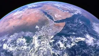
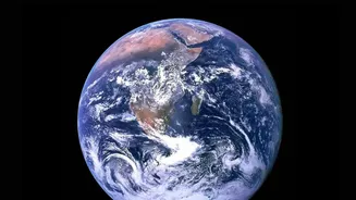
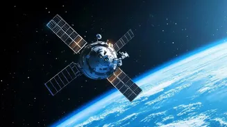
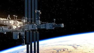
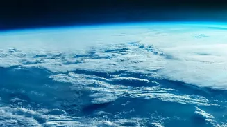
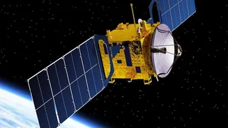
Every day, a fleet of Earth-observing satellites collects petabytes of information, capturing images of everything from melting glaciers to urban expansion. NASA's archives hold decades of this data, a crucial record of our changing planet. The sheer
volume, however, presents a massive challenge. Sifting through this data to find meaningful patterns and detect subtle environmental shifts has traditionally been a slow, painstaking process for scientists. The rate of data collection is accelerating so quickly that it risks outpacing our ability to analyse it, creating a gap between data and discovery.
AI to the Rescue: Teaching Machines to See
This is where artificial intelligence (AI) and machine learning (ML) come in. NASA is now applying these technologies to rapidly process and interpret its enormous datasets. Instead of just seeing pixels, AI models are trained to understand what the data represents, much like a human does. These systems can learn to identify specific phenomena like wildfires, floods, or deforestation with incredible speed and accuracy. The goal is to shrink the time between data collection and scientific understanding, allowing researchers to focus on what the changes mean rather than getting bogged down in data processing.
A New Generation of Climate Models
A key part of this strategy involves creating 'foundation models'. In a landmark collaboration with IBM, NASA has developed open-source AI models for geospatial data and climate. One such model, named 'Prithvi' (Sanskrit for Earth), was trained on NASA's vast repository of satellite imagery. This model can be adapted for a wide variety of tasks, from mapping the extent of fire damage to identifying areas at risk of flooding or tracking reforestation efforts. Another model focuses on weather and climate, trained on 40 years of atmospheric data to help improve forecasts and our understanding of atmospheric dynamics.
From Pixels to Predictions
The practical applications of this technology are already emerging. These AI models can help scientists predict where locusts might breed in Africa, quantify the carbon stored in forests, and identify urban heat islands. By analysing satellite imagery, AI can autonomously detect harmful algal blooms, track air quality by measuring atmospheric gases, and provide rapid damage assessments after natural disasters like hurricanes. One project, called Dynamic Targeting, even lets satellites make their own decisions in orbit, using onboard AI to autonomously spot short-lived events like volcanic eruptions and avoid cloud cover to capture clearer images. This makes data collection smarter and more efficient.
An Open-Source Future
Crucially, NASA is committed to making this technology accessible. By releasing models like Prithvi as open-source on platforms such as Hugging Face, NASA and IBM are allowing a global community of researchers, corporations, and even individuals to use these powerful tools. This collaborative approach, part of NASA’s Open-Source Science Initiative, aims to accelerate discovery and get critical climate data into the hands of those who can use it to make informed decisions. This democratisation of data analysis could lead to innovative applications that even its creators haven't anticipated, ultimately helping societies better prepare for and respond to the challenges of a changing climate.