





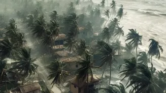


Latest IMD Forecast for Cyclone Akvan
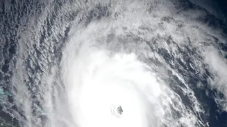
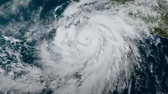
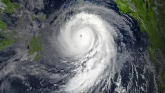
According to the latest updates from the India Meteorological Department (IMD) on November 18, Cyclonic Storm Akvan is currently over the Bay of Bengal and is expected to intensify into a Severe Cyclonic Storm. It is then forecast to become a Very Severe Cyclonic Storm by
the morning of November 19. The storm is moving slowly north-northwestwards and is projected to cross the Andhra Pradesh coast between Nellore and Tuni around noon on Friday, November 20. At the time of landfall, the system is expected to have maximum sustained wind speeds of 120-130 kmph, with gusts reaching up to 145 kmph.
Which Areas Are on High Alert?
The entire coastal belt from Nellore to Tuni is under watch. The IMD has issued an 'Orange Message' cyclone alert for the Andhra Pradesh and adjoining south Odisha coasts. Heavy rainfall is expected to begin in coastal Andhra Pradesh from November 18, escalating to heavy, very heavy, and isolated extremely heavy rainfall (over 21 cm) on November 19 and 20. A dangerous storm surge of 1.0 to 1.5 metres above the normal tide is forecast to inundate low-lying areas of Prakasam, Bapatla, Krishna, West Godavari, Konaseema, and Kakinada districts during landfall. Authorities in southern Odisha, particularly Rayagada district, are also preparing for heavy rainfall.
Understanding IMD's Warning System
The IMD uses a four-stage warning system and colour codes to communicate the severity of a cyclone. A 'Pre-Cyclone Watch' is issued 72 hours in advance, followed by a 'Cyclone Alert' (Yellow) at 48 hours. A 'Cyclone Warning' (Orange) is issued 24 hours before landfall, and a 'Post-Landfall Outlook' (Red) comes 12 hours prior. For the public, the general colour codes are crucial: Yellow means 'Be Updated', advising you to stay informed. Orange means 'Be Prepared' for potentially disruptive weather. Red means 'Take Action', as extremely bad weather is expected and you may need to follow orders from local authorities, including evacuation. An Orange alert is currently active for the Andhra coast.
How Are Cyclones Named?
Cyclones in the North Indian Ocean are not named arbitrarily. The responsibility for naming falls to the RSMC New Delhi, which is run by the IMD. The names are taken from a pre-determined list submitted by 13 member countries of the WMO/ESCAP panel, including India, Iran, and others. A storm is officially given a name only when it intensifies to a Cyclonic Storm, with wind speeds of 63 km/hour or more. The name 'Akvan' was contributed to the list by Iran. This systematic naming helps in clear communication and avoids confusion, especially when multiple weather systems are active.
Essential Safety and Preparation Checklist
Authorities have advised the complete suspension of fishing operations, urging fishermen not to venture into the sea. For residents in coastal areas, preparation is key. Secure your home by checking roofs and covering glass windows with shutters or boards. Keep an emergency kit ready with a torch, spare batteries, dry food, drinking water, and a first-aid box. Store important documents like Aadhaar and property papers in a waterproof bag. Charge your mobile phones and power banks. If you are in a low-lying area, be prepared to move to a safer location or a designated cyclone shelter if advised by authorities. Stay away from beaches and listen to official announcements.
Where to Find Official Information
In a developing situation like a cyclone, it is vital to rely on official sources to avoid misinformation and panic. Monitor updates from the India Meteorological Department (IMD) through their official website (mausam.imd.gov.in) and social media channels. Pay close attention to bulletins from the Andhra Pradesh State Disaster Management Authority (APSDMA). Local news channels and All India Radio will also broadcast regular updates. The state has announced several helpline numbers for assistance, including the statewide number 1070 and the national emergency number 112.