


A Universe of Open Data
In the past, space exploration was the exclusive domain of government scientists. Today, that has changed dramatically. Space agencies around the world, including our own Indian Space Research Organisation (ISRO), are making vast amounts of data from
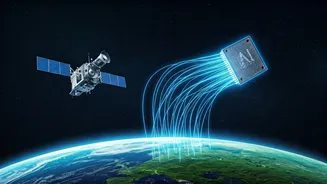
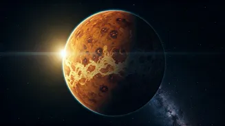
their missions available to the public. This open-data policy is a game-changer, especially for students. From high-resolution images of the lunar surface captured by Chandrayaan missions to atmospheric data from the Mars Orbiter Mission (MOM), terabytes of information are now just a few clicks away. This treasure trove of data allows students to move beyond textbooks and engage with real, raw information from outer space, fostering a deeper understanding of science and technology.
Your Gateway to Cosmic Information
Knowing where to find this data is the first step. ISRO hosts several incredible portals that serve as gateways for this information. The ISRO Science Data Archive (ISDA) is a primary repository for science data from missions starting with Chandrayaan-1. For meteorological and oceanographic data, there is the MOSDAC portal. Another powerful platform is VEDAS (Visualisation of Earth Observation Data and Archival System), which provides data for monitoring vegetation, air quality, and hydrology. Internationally, NASA's Open Data portal is a massive resource, offering everything from satellite imagery of Earth to data from planetary explorers. These platforms are designed to be accessible, allowing anyone to download datasets for their own analysis.
Tools for the Modern Explorer
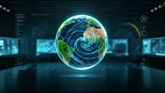
Accessing the data is one thing; making sense of it is the real adventure. Students don't need a supercomputer, but some basic tools are essential. A fundamental understanding of programming, particularly in a language like Python, is incredibly useful. Python has powerful libraries for data analysis (like Pandas and NumPy) and visualization (like Matplotlib and Seaborn) that can help turn rows of numbers into insightful charts and graphs. Many online resources and free courses are available to learn these skills. For Earth observation data, Geographic Information System (GIS) software can be a great tool for creating maps and analyzing spatial patterns. The key isn't to be an expert overnight, but to start with a question and learn the tools as you go.
From Data to Discovery: Project Ideas
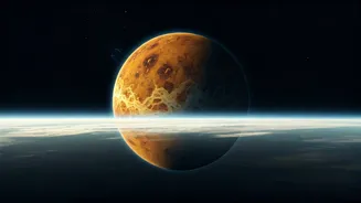
What kind of projects can students undertake? The possibilities are as vast as space itself. Using Earth observation data from ISRO's Bhuvan or VEDAS portals, students could study deforestation, urban sprawl in their city, or the impact of climate change on local water bodies. Using lunar data from Chandrayaan, they could create 3D models of craters or map potential landing sites. For those interested in weather, Martian atmospheric data from MOM offers a chance to compare weather patterns on another planet with our own. Another exciting avenue is participating in global hackathons like the NASA Space Apps Challenge, which has a huge presence in India. These events provide specific challenges and mentorship, helping teams of students, coders, and designers create solutions to real-world problems using space data.
Inspiration from Indian Trailblazers
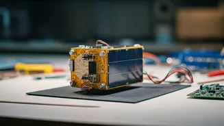
This isn't just a theoretical possibility; students are already doing it. ISRO actively encourages student participation through initiatives like the Student Satellite programme, where universities can design and build payloads or even entire satellites. Programs like YUVIKA (Young Scientist Programme) aim to 'catch them young' by imparting basic knowledge of space science to school children, particularly from rural areas. Recently, a group of Hyderabad school students, aged 12 to 15, designed and built a CubeSat payload that was scheduled for launch on an ISRO PSLV mission. These stories show that with curiosity and access to the right resources, age is no barrier to contributing to the world of space science.