






A Sharper View from Orbit
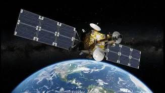
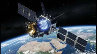
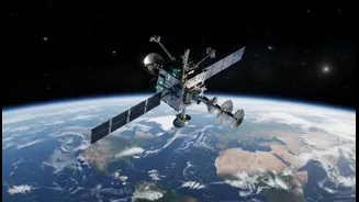
NASA is elevating its Earth-monitoring capabilities with a new class of sophisticated satellites designed to observe our planet's complex systems with incredible precision. One such pioneering mission is the recently launched NASA-ISRO Synthetic Aperture
Radar (NISAR), a joint project between NASA and the Indian Space Research Organisation (ISRO). Unlike standard optical satellites that are like cameras, NISAR uses an advanced radar system to map the Earth. This technology can see through clouds and darkness, providing an uninterrupted flow of data, day or night, in any weather. The satellite will systematically scan nearly all of Earth's land and ice-covered surfaces, creating a '3D movie' of the planet's movements. This constant, reliable stream of high-resolution data is what sets it apart, promising to fill critical gaps in our understanding of environmental changes.
The Technology Driving Precision
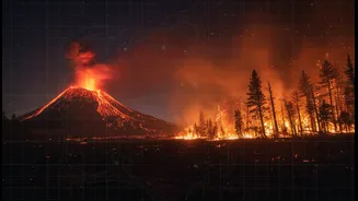
The game-changing element of the NISAR mission lies in its dual-frequency radar instrument, the first of its kind. NASA provided the L-band radar, while ISRO contributed the S-band radar. This combination allows the satellite to observe a wide range of changes on the Earth's surface. The L-band is excellent for penetrating vegetation to measure things like forest biomass and soil moisture, while the S-band is better suited for tracking crop health and surface deformation. Together, they can detect changes in the planet's surface down to a centimetre. This level of detail, previously unattainable on a global scale, will give scientists an unprecedented tool to monitor everything from the slow creep of a glacier to the subtle ground swelling that can precede a volcanic eruption.
Why This Matters for India
For India, the benefits of more accurate Earth observation are immediate and profound. The data from NISAR will be instrumental in managing the country's vast agricultural lands, helping to map crop health and soil moisture with high precision to support farmers and secure food systems. It will also revolutionize disaster management. The satellite’s ability to monitor land subsidence, glacier retreat in the Himalayas, and changes in coastal regions provides vital early warnings for threats like floods and landslides. By mapping the entire country every 12 days, NISAR will provide an invaluable, freely available dataset to help scientists and government agencies better predict and plan for environmental challenges, from optimising irrigation during droughts to assessing post-cyclone damage.
A New Era for Climate Science
On a global scale, missions like NISAR are fundamental to confronting climate change. Satellites provide the essential, long-term data needed to track changes in ice sheets, sea levels, and greenhouse gas concentrations. The unprecedented accuracy of these new instruments helps scientists refine the climate models used to forecast future scenarios. By measuring changes in biomass, these satellites can better quantify carbon stored in forests and track the impact of deforestation. This high-fidelity data removes ambiguity and empowers policymakers worldwide with the clear, evidence-based information needed to make effective decisions to mitigate climate impacts and build more resilient communities.