



The Anatomy of a Himalayan Surge
The devastating flash floods that struck Nepal on August 26, 2026, were not caused by heavy rain. Instead, they were the product of a terrifying mountain phenomenon: a massive river blockage. Experts believe an ice-rock avalanche or glacial collapse high
in the Himalayas triggered a landslide that temporarily dammed a river. This created a huge, unstable lake. When the natural dam inevitably broke under the immense pressure, it released a violent wall of water, mud, and debris that thundered down the Bhote Koshi-Trishuli river basin, destroying everything in its path. The event was so powerful it registered as a magnitude 5.2 seismic event. This is the mechanism that makes Himalayan floods so uniquely dangerous—it's not just rising water, but a sudden, explosive release.
Two Types of Ticking Time Bombs
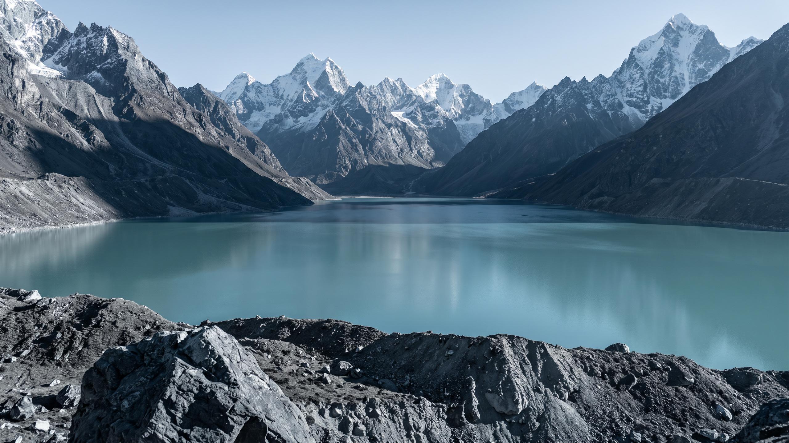
River blockages in this region primarily come in two forms. The first is a landslide-dammed lake, where an earthquake or heavy rains cause a mountainside to collapse into a river, creating a barrier. The second, and increasingly common, threat is a Glacial Lake Outburst Flood, or GLOF. As climate change warms the Himalayas, glaciers are melting at an accelerated rate. This meltwater forms new lakes or expands existing ones, which are often held back only by loose walls of soil and rock (moraine) left by the retreating glacier. These moraine dams are weak and can fail without warning, leading to a GLOF. A recent assessment has identified 47 potentially dangerous glacial lakes in and around Nepal that could pose a threat.
The Catastrophic Aftermath in Nepal
The August 26 flood demonstrated the horrific power of such a surge. It struck with almost no warning, killing over 160 people in Nepal and leaving hundreds missing, including many foreign tourists and Indian pilgrims. The torrent of water and debris was so powerful it wiped out villages, roads, bridges, and critical hydropower projects, which are vital to Nepal's economy. The damage to infrastructure like the Rasuwagadhi-Kerung border crossing, a key trade link with China, will have long-lasting economic consequences. Rescue operations were severely hampered as the very roads and bridges needed to access the remote, mountainous areas were simply gone.
Why India Is on High Alert
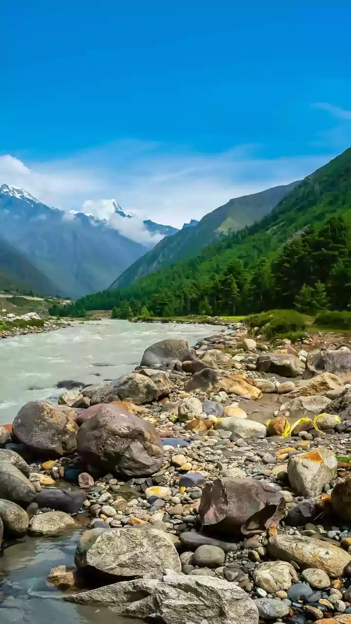
The geography of the Himalayas means that a disaster in Nepal is a direct threat to India. The Trishuli river, which was devastated by the recent surge, flows downstream and becomes the Gandak river when it enters India. This river flows through the densely populated plains of Bihar and Uttar Pradesh. Following the flood in Nepal, authorities in these states were put on high alert, evacuating thousands from low-lying areas and opening all 36 gates of the Gandak Barrage at Valmikinagar to manage the expected inflow of water. This transboundary nature of Himalayan rivers like the Gandak and the Koshi, known as the 'Sorrow of Bihar', makes cross-border cooperation and early warning systems not just helpful, but essential for saving lives.
The Challenge of a Warmer Future
The recent disaster is a stark reminder of the escalating dangers in a warming world. The Hindu Kush Himalayan region is warming faster than the global average, leading to more rapid glacier melt and increasing the frequency and intensity of events like GLOFs. While monsoons are a natural part of the region's climate, these new, unpredictable threats are not. Building resilience will require more than just traditional flood defences. It necessitates sophisticated, cross-border early warning systems that can monitor seismic activity and lake stability, not just rainfall. Without robust data sharing and joint disaster management strategies between Nepal, China, and India, communities downstream will remain perilously exposed to the next surge building in the mountains.