



Seeing Beyond the Visible
For generations, farming has relied on visual inspection and historical patterns, methods that are often reactive. A farmer might notice yellowing leaves and then act, but by that point, stress from drought, pests, or nutrient deficiency has already impacted
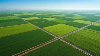
the crop's potential. New Earth observation systems are changing this paradigm. Instead of just looking, they allow us to see what’s invisible to the naked eye. Satellites equipped with advanced sensors can detect subtle changes in how plants reflect light, often identifying stress long before physical symptoms appear. This ability to monitor vast areas with incredible precision is shifting farming from a reactive practice to a proactive, data-driven science.
The New Generation of Eyes in the Sky
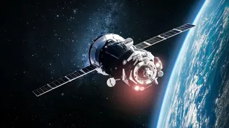
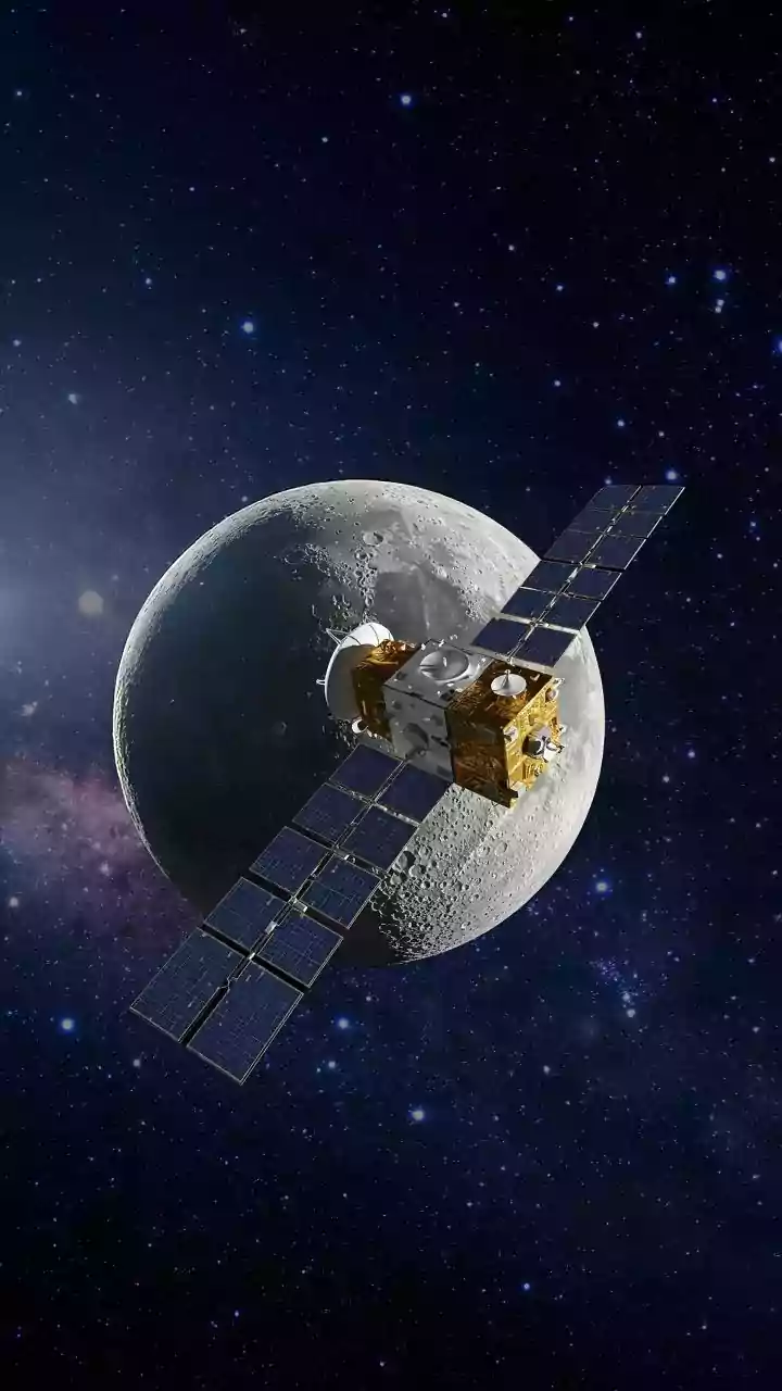
Today’s agricultural satellites are far more powerful than their predecessors. One of the most significant advancements is hyperspectral imaging. While a standard camera sees in three bands (red, green, blue), hyperspectral sensors capture information across hundreds. This creates a unique 'spectral signature' for each pixel, providing incredibly detailed insights into plant health, water content, and nutrient levels. Another game-changer is Synthetic Aperture Radar (SAR), which can see through clouds and at night. This is crucial for monitoring crops during India's monsoon (Kharif) season, when cloud cover makes optical imaging unreliable. Together, these technologies provide a continuous, all-weather view of farmlands.
The Power of AI in Making Data Actionable
Collecting massive amounts of data is only half the battle. The real breakthrough comes from combining this satellite imagery with Artificial Intelligence (AI). AI algorithms sift through terabytes of data to identify patterns and anomalies that a human analyst could never spot. This fusion turns raw data into actionable intelligence. For instance, AI can analyse images to detect the early stages of a pest infestation or disease outbreak, allowing for targeted treatment instead of broad-spectrum pesticide use. This not only saves costs but also reduces the environmental impact of farming. These systems can also predict crop yields with high accuracy, helping farmers and policymakers plan for harvesting, storage, and distribution.
Real-World Impact on the Farm
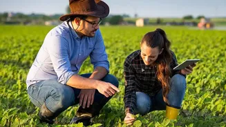
For an Indian farmer, this technology translates into tangible benefits. AI-driven analysis of satellite data can create precise irrigation schedules by analysing soil moisture levels, potentially reducing water usage significantly. Similarly, it enables precision fertilisation, where nutrients are applied exactly where they are needed, improving efficiency and preventing waste. Studies have shown that embracing such precision technology can lead to increased crop production, more efficient fertiliser placement, and reduced use of pesticides. In India, where many farms are small, remote sensing helps overcome the limitations of traditional census data by providing farm-level insights. The Indian government's Krishi-DSS platform is one example of a system designed to deliver these real-time insights on crop conditions, weather, and soil health directly to farmers.
The Bigger Picture: Food Security and Finance
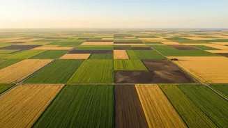
The impact of advanced crop monitoring extends far beyond individual farms. On a national level, accurate, real-time data on crop health and yield forecasts is invaluable for ensuring food security. The government's FASAL programme, for example, uses satellite data to generate pre-harvest production estimates for major crops across the country. This information helps in managing supply chains, controlling price volatility, and making informed policy decisions. Furthermore, the technology is revolutionising agricultural insurance. By providing precise, verifiable data on crop damage from events like floods or droughts, satellites help in the quick and fair settlement of insurance claims under schemes like the Pradhan Mantri Fasal Bima Yojana (PMFBY).