




Our Planet's Unblinking Eyes
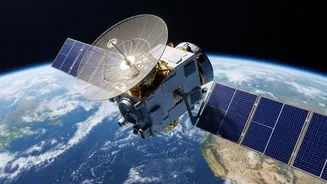
Imagine trying to map every new building in your city or count trees in a remote forest by walking through them. It would be an impossible task. This is where satellite technology, or remote sensing, comes in. Satellites equipped with advanced sensors
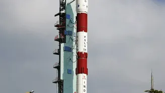
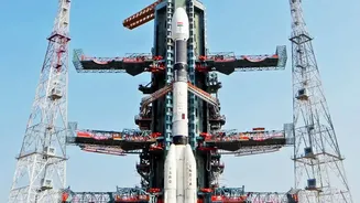
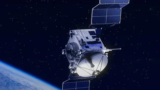
orbit the Earth, continuously capturing images of its surface. These aren't just ordinary pictures; they capture light across different spectrums, including infrared, which is invisible to the human eye. This allows scientists to distinguish between healthy vegetation, dry land, water bodies, and man-made structures with incredible accuracy. By comparing images of the same location taken over months or years, researchers can detect and measure even subtle shifts, creating a time-lapse of our changing world. In India, organizations like the Indian Space Research Organisation (ISRO) use a fleet of satellites, such as those in the Resourcesat series, to carry out this crucial monitoring work.
Charting the Concrete Jungle's Growth
India is urbanising at a staggering pace, with cities expanding rapidly. This growth, often happening faster than official records can track, puts immense pressure on resources like water, housing, and green spaces. Satellite imagery provides an objective, near real-time method to monitor this urban sprawl. By analysing multi-temporal data, planners can see exactly where new construction is happening, how agricultural land is being converted for urban use, and how green cover within cities is shrinking. For example, studies have used satellite data to document the dramatic expansion of cities like Bengaluru over the past few decades. This information is vital for urban local bodies to manage development, plan infrastructure, and ensure that growth is sustainable rather than chaotic.
Guardians of Our Green Canopy
India's forests are a critical natural resource, but they face constant threats from deforestation, illegal logging, and forest fires. Monitoring these vast, often inaccessible areas from the ground is impractical. Satellites serve as our guardians in the sky. Agencies like the Forest Survey of India (FSI) use remote sensing data to produce biennial reports on the country's forest cover, allowing for close monitoring of its status. This technology can pinpoint areas of deforestation, helping authorities to investigate the causes, which range from agricultural expansion to infrastructure projects. Furthermore, satellites are instrumental in the early detection and monitoring of forest fires, providing near real-time alerts to ground teams so they can intervene quickly and mitigate the damage.
A Watchtower for Water
Water is one of India's most precious and stressed resources. Effective management requires a clear understanding of where water is, how much is available, and how it's being used. Satellite data provides a comprehensive view. Missions from ISRO help monitor the country's rivers, reservoirs, and lakes, tracking seasonal changes in water levels and identifying pollution sources. Beyond surface water, specialised satellites like the GRACE mission can even estimate changes in groundwater storage by measuring tiny shifts in Earth's gravity field, a critical tool for managing the over-extraction that plagues many states. This data feeds into national platforms like the India-WRIS portal, a 'Single Window' source that helps authorities plan for everything from flood and drought management to sustainable irrigation.
The Future of Earth Observation
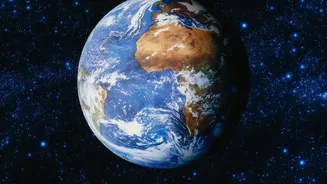
The technology is only getting better. The upcoming NISAR mission, a joint project between NASA and ISRO, promises to provide an unprecedented look at our planet. Using advanced radar that can see through clouds and darkness, NISAR will scan nearly all of Earth's land and ice twice every 12 days. This will enable even more detailed monitoring of deforestation, landslides, glacier melt, and agricultural health. Combined with the power of artificial intelligence to process these vast datasets, researchers will be able to identify patterns and predict changes with greater accuracy than ever before. This fusion of AI and advanced satellite imagery will empower more proactive and informed decisions to protect our environment and manage our resources in the face of climate change and rapid development.