






A New Sentinel in the Sky
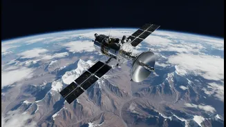
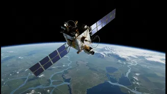
Imagine an eye in the sky so powerful it can detect the ground shifting by just a centimetre from over 700 kilometres away. That is the promise of NISAR, the NASA-ISRO Synthetic Aperture Radar satellite. This ambitious mission, launched in July 2025,
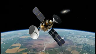
is a collaboration between the Indian Space Research Organisation (ISRO) and its American counterpart, NASA. It represents one of the most significant partnerships in space exploration between the two nations, creating what is likely the world's most expensive Earth-imaging satellite to achieve its goals. Orbiting the Earth every 100 minutes, NISAR is designed to systematically scan nearly the entire planet every 12 days, creating an unprecedentedly detailed and dynamic map of our world's surface.
The Science of Seeing Millimetres
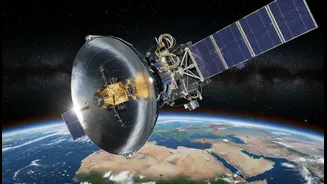
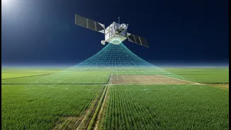
At the heart of NISAR are two advanced radar systems, an L-band from NASA and an S-band from ISRO. This makes NISAR the first satellite to use two different radar frequencies for observation. Unlike regular cameras that need light and clear skies, Synthetic Aperture Radar (SAR) can see through clouds, darkness, and even dense forest canopies. It works by sending microwave signals to the Earth's surface and analysing the echoes that bounce back. By repeatedly scanning the same area and comparing the images—a technique called interferometry (InSAR)—scientists can detect tiny changes in the ground's position. This allows them to spot movements as small as 0.4 inches (about one centimetre), revealing subtle signs of subsidence, uplift, or strain building up in the Earth's crust.
A Game-Changer for India's Vulnerable Regions
For a country as geographically dynamic and disaster-prone as India, NISAR's capabilities are revolutionary. The tragic land subsidence in Joshimath, Uttarakhand, which saw parts of the town sink and homes develop major cracks, is a prime example of where this technology could have provided crucial early warnings. With its 12-day repeat cycle, NISAR can create detailed 'deformation maps' of vulnerable areas like the Himalayas. This data will allow scientists to monitor how stress is accumulating along fault lines, potentially indicating regions at higher risk of earthquakes. It will also enable authorities to track the slow creep of slopes that could precede a catastrophic landslide, providing invaluable time for mitigation and evacuation. The frequent and high-resolution data is a significant leap from previous satellite capabilities, offering a more comprehensive picture of ground stability in all weather conditions.
Beyond Prediction to Response and Recovery
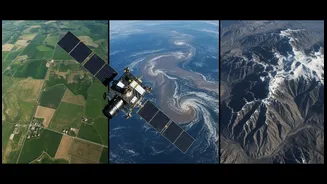
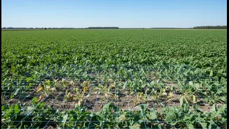
NISAR's role extends beyond simply spotting warning signs. The data it collects will be invaluable during and after a disaster. The satellite can rapidly map the extent of floodwaters, even under cloud cover, helping rescue teams direct their efforts more effectively. It can assess damage to infrastructure like buildings, dams, and bridges after an earthquake. The information will also have far-reaching applications for managing resources. By monitoring changes in soil moisture and vegetation, it can support agriculture. It will also track the melting of glaciers in the Himalayas, a critical factor for water security in the region, and monitor the health of forests and wetlands across the country. Importantly, all data from the NISAR mission will be free and open to the public, empowering researchers, disaster management agencies, and policymakers.