





The Promise of a Constant Watch
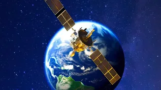
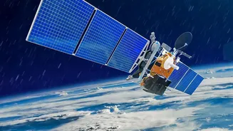
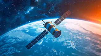
The vision behind satellites like the planned Earth Observation Satellite-05 (EOS-05) is to have a constant, unblinking eye over the Indian subcontinent. Unlike satellites in lower orbits that pass over a location periodically, a geostationary satellite remains
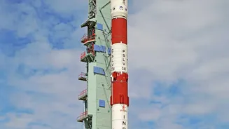
fixed over one spot, some 36,000 kilometres above the Earth. This allows it to provide near-real-time imagery of developing situations, such as a rapidly intensifying cyclone or the spread of a forest fire. The original mission intended to place such a satellite, known as GISAT-1, into orbit in August 2021, but it failed due to a technical anomaly in the launch vehicle. The follow-up mission, EOS-05, aims to fulfill this crucial role, demonstrating the persistence of India's space program in building a more resilient nation.
India's Operational Eyes in the Sky
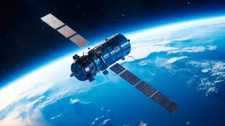
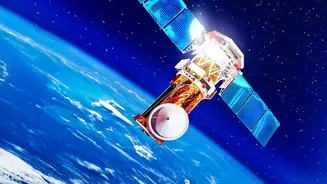
While the geo-imaging capability of EOS-05 is highly anticipated, the Indian Space Research Organisation (ISRO) already operates one of the world's largest constellations of remote sensing satellites that are pivotal for disaster management. The INSAT series, particularly INSAT-3D and INSAT-3DR, are the workhorses of Indian meteorology. These satellites provide continuous weather monitoring, helping the India Meteorological Department (IMD) to track cyclones, predict their path, and estimate their intensity with remarkable accuracy. Then there is the Radar Imaging Satellite (RISAT) series, whose synthetic aperture radar can see through clouds and darkness, making it invaluable during monsoons and for mapping flood inundation. This fleet provides a steady stream of data that forms the foundation of India's early warning systems.
From Data to Actionable Warnings
Raw satellite data, while powerful, is only the first step. The true value is unlocked when this information is translated into actionable alerts for authorities and the public. ISRO’s National Remote Sensing Centre (NRSC) in Hyderabad processes the data to generate near-real-time maps and reports. These products, showing things like flood extent or potential landslide zones, are disseminated to the National Disaster Management Authority (NDMA) and state-level agencies. This intelligence allows for precise and timely warnings. Instead of generalized alerts, authorities can issue geo-targeted messages via SMS and dedicated apps to people in the direct path of danger. This ability to pinpoint at-risk populations enables more effective evacuations, saving countless lives and preventing panic in unaffected areas.
Mapping the Aftermath for Rescue and Recovery
The role of satellite data does not end once a disaster strikes. In the chaotic aftermath of a flood or earthquake, when communication lines are down and roads are impassable, satellite imagery provides the first comprehensive look at the extent of the damage. Rescue teams can use these maps to identify the worst-hit villages, locate where critical infrastructure like bridges and hospitals have been damaged, and plan safe routes for delivering aid. For long-term recovery, this data is invaluable for damage assessment, helping the government allocate resources for rebuilding homes, restoring agriculture, and repairing infrastructure. By providing a clear, objective view of the situation on the ground, satellites help make the response and recovery efforts faster, smarter, and more efficient.
The Future: Deeper Integration and Collaboration
India continues to enhance its space-based disaster management capabilities. Future missions aim to provide even higher resolution data at more frequent intervals. A significant upcoming mission is the NASA-ISRO Synthetic Aperture Radar (NISAR) satellite, a joint project that will map the entire globe every 12 days. NISAR will be able to detect tiny changes in the Earth’s surface, helping to monitor seismic activity, subsidence, and glacier melt with unprecedented detail. ISRO also shares its data through international frameworks like the International Charter ‘Space & Major Disasters’, contributing to global humanitarian efforts. By continuously upgrading its technology and fostering collaboration, India is not just protecting its own citizens but also strengthening global resilience against natural disasters.