






First, What Is El Niño?
Think of El Niño as a massive, temporary warming of the Pacific Ocean. Every few years, the surface water along the equator in the central and eastern Pacific gets unusually warm. This isn't just a local heatwave; it's a colossal shift in the ocean-atmosphere
system that disrupts weather patterns across the globe. This phenomenon is part of a cycle called the El Niño-Southern Oscillation (ENSO). Its counterpart, La Niña, involves a cooling of the same ocean waters. In 2026, scientists have been tracking a particularly strong, potentially historic, El Niño event developing since the middle of the year, with forecasts suggesting it could be one of the most intense on record.
The Typical Impact on India's Monsoon
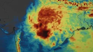
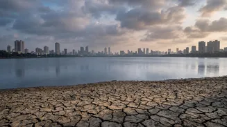
Traditionally, the arrival of El Niño spells trouble for the Indian southwest monsoon. The warming of the Pacific Ocean can alter large-scale atmospheric circulation, including the Walker Circulation, which influences the monsoon winds. A strong El Niño often correlates with a weaker monsoon, leading to suppressed rainfall across large parts of the Indian subcontinent. This can mean delayed monsoon onset, longer dry spells between rainy periods, and a higher probability of below-average rainfall for the country as a whole. Historically, many of India's most significant droughts have occurred during El Niño years. However, this is a correlation, not an unbreakable rule. Studies have shown that not all El Niño years result in a poor monsoon.
So, What About Mumbai's Rainfall?
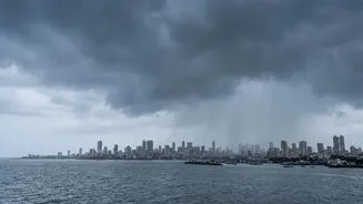
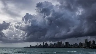
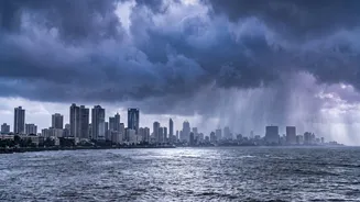
This is where the story gets complicated and much more local. While El Niño tends to have a suppressive effect on the all-India monsoon, its impact on a specific coastal city like Mumbai can be paradoxical. The 2026 monsoon has been a perfect example of this complexity. The season's onset was delayed, a classic fingerprint of an El Niño event. Yet, July brought torrential downpours that saw Mumbai surpass its average rainfall for the entire month in just a few weeks. This happened even as the El Niño in the Pacific was intensifying. This seeming contradiction highlights that while El Niño sets the background stage, it's not the only actor in the play. Local and regional weather patterns, like the formation of low-pressure systems over the Arabian Sea, can still drive episodes of extremely heavy rain.
The Climate Change Complication
Scientists increasingly believe that global warming is fundamentally changing the character of the monsoon, at times overriding the influence of patterns like El Niño. A warmer planet means a warmer atmosphere and warmer oceans. This supercharged environment can hold more moisture. The result is a shift in rainfall patterns: fewer total rainy days but more intense, concentrated downpours when it does rain. For a city like Mumbai, this means that even in a year with a potentially weaker overall monsoon due to El Niño, the risk of extreme, flood-inducing rainfall events remains high, or is even amplified. The heavy spells in July 2026, despite El Niño, are seen by many experts as a clear sign of this climate change-driven shift.
A Tale of Two Monsoons
The relationship between El Niño and Mumbai's rain is best understood as a 'tale of two monsoons'. On one hand, you have the large-scale, season-long influence of El Niño, which increases the odds of a suppressed monsoon for India as a whole. On the other hand, you have the short-term, high-impact reality of extreme weather events, which are becoming more frequent and intense due to climate change. So, it is entirely possible to have a season that is technically 'drier' on average across the country, but which Mumbaikars experience as a series of intense, disruptive, and dangerous deluges. The connection isn't simple; it’s a complex interplay between a natural climate cycle and human-induced climate change, and Mumbai is on the front line.