





The View from Above
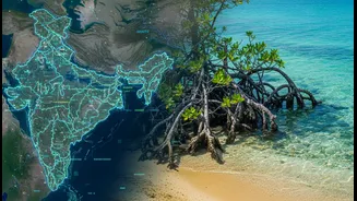
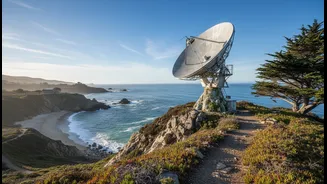
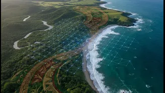
Modern climate science offers incredible tools for understanding our changing planet. Satellites provide a crucial, large-scale perspective, tracking everything from sea-level rise and shoreline erosion to the health of mangrove forests over vast areas
and long periods. This high-tech data can reveal slow-moving trends that are invisible day-to-day, creating detailed maps of vulnerability. However, satellite data has its limits. It shows what is changing, but often cannot explain why it is happening on a local level. For communities facing these changes, the data can feel abstract, disconnected from their lived experience and immediate needs.
The Wisdom of Generations
For centuries, coastal communities in India have cultivated a deep, nuanced understanding of their environment. This Indigenous Traditional Ecological Knowledge (ITEK) is a living library of information, passed down through generations. It includes an intimate familiarity with local wind patterns, wave behaviour, fish migration, and the subtle signs that indicate shifts in weather or ecosystem health. Fisherfolk, for example, have long used their own systems to predict weather and navigate the seas. This knowledge is not just folklore; it is a time-tested science based on generations of direct observation and interaction with the local ecosystem, offering a level of detail that technology alone cannot capture.
A Powerful Partnership
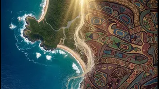
The most effective climate planning happens when these two powerful knowledge systems are brought together. Imagine satellite data revealing that a particular stretch of coastline is eroding rapidly. Researchers might have several theories, but Indigenous community members can provide the on-the-ground context. They might point out that a subtle change in a local current, which they have observed, is preventing sediment from replenishing the beach, or that a new, aggressive invasive species is weakening the root systems of protective coastal plants. This synergy fills the gaps in each system. The local observations are validated and scaled up by the satellite evidence, while the satellite data is given crucial context and meaning by the community's experience.
From Data to Meaningful Action
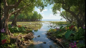
This integrated approach moves beyond simply monitoring problems to co-creating effective solutions. When scientists and communities work together, the resulting climate plans are more relevant, practical, and trusted. For instance, instead of building a generic concrete sea wall that could harm local ecosystems, this collaboration might lead to a plan to restore a specific type of native mangrove known by the community to be particularly resilient to storm surges. Projects across India are already demonstrating this value, integrating community-led co-management into ecosystem restoration in states like Odisha, Andhra Pradesh, and Maharashtra. This ensures that adaptation strategies are not just imposed from the outside but are owned and managed by the people they are designed to protect.
Building Trust, Not Just Datasets
Successfully blending these knowledge systems is about more than just data. It requires a fundamental shift in how research is conducted. It means moving away from a top-down model where scientists are the sole experts, towards a more equitable partnership. Researchers must recognize Indigenous communities as rights holders and fellow experts, respecting their intellectual property and ensuring that the knowledge they share is used for the community's benefit. This involves co-developing research questions, sharing data openly, and ensuring that the final outcomes, whether they are maps, plans, or policies, are accessible and useful to the community itself. This process of co-creation builds the trust necessary for long-term, sustainable collaboration.